
Click on the map to display it full size or download a PDF version
Ever since my failed attempt to reach the Croix de Provence on the Montagne Sainte Victoire in February of 2007, I had been itching to go back to this magnificent place. The occasion presented itself on June 16 of the same year, when my buddy Didier, who lives nearby in Aix, David, and yours truly decided to have a go at it together. We met at the barrage de Bimont; originally, we had only intended to climb from there to the Croix de Provence, but we decided to take advantage of the fact that we had two cars to try something more ambitious. We left my car at our meeting point and drove through Vauvenargues to the Col des Portes in Didier's car. Our hike started from there, and this page contains souvenir photos of what turned out to be a memorable (and long!) excursion (all images are by David and me, except numbers 31 and 33, which were taken by Didier).
Click on any of the small images below to see a larger (1500 x 1000 pixel) version!
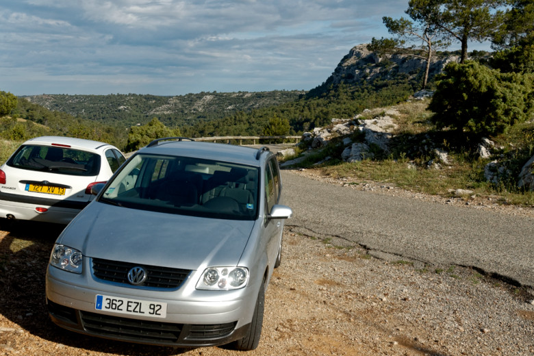
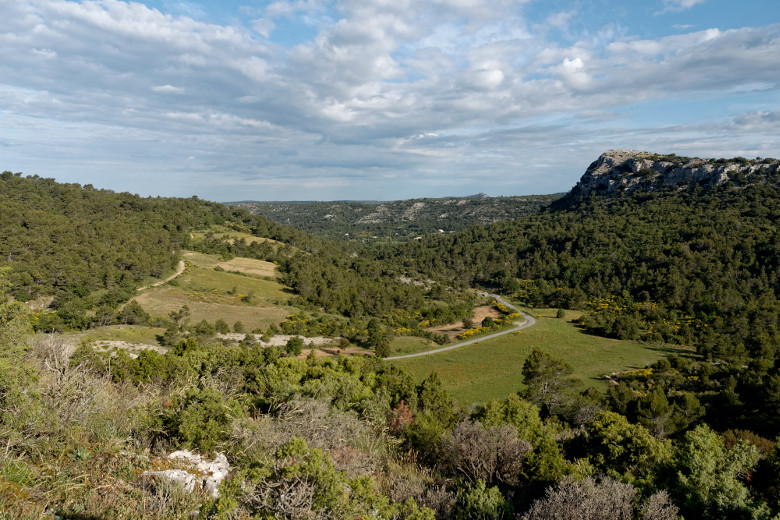
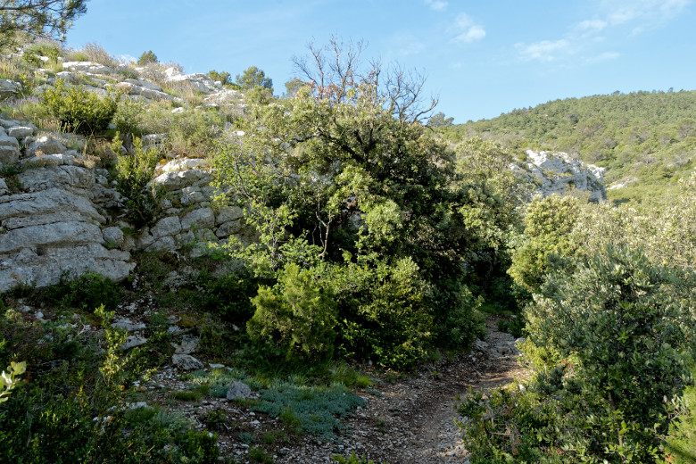
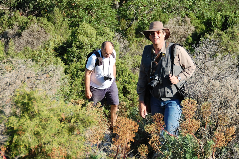
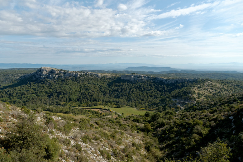
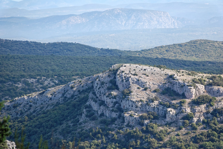
After leaving Didier's car at the Col des Portes [1] we began climbing towards the Pic des Mouches. Every once in a while, we turned around to assess our progress and admire the magnificent scenery [2]. At this point, the trail was rather easy [3] even though at times, the underbrush made it hard to see where one put ones feet [4]. At one point, this caused me to sit down rather abruptly and unintentionally, earning me a few thorns in my hand. We were still making our way up the mountain, so the only view was to the north, [5], but it got more and more spectacular as shown in this layered landscape [6].
|
|
At the Col des Portes |
The view behind us... |
|
|
...and the path ahead. |
Didier and Daniel trying to catch up with David |
|
|
The view to the north |
Layered landscape |
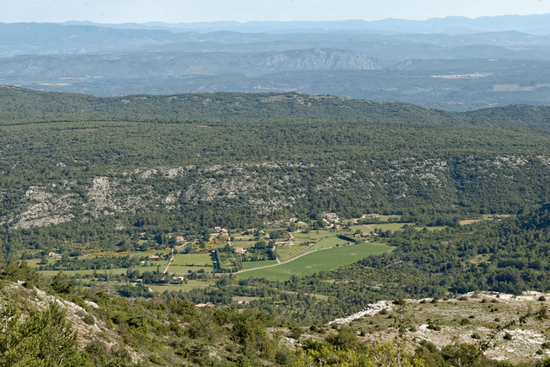
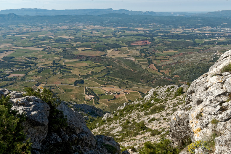
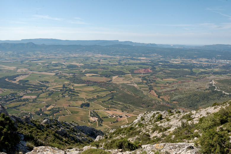
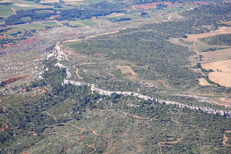
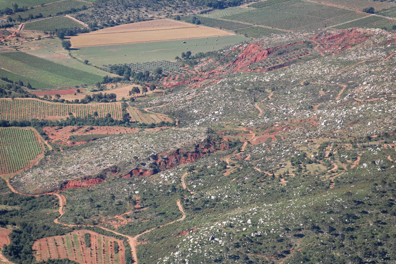
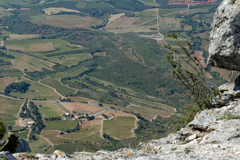
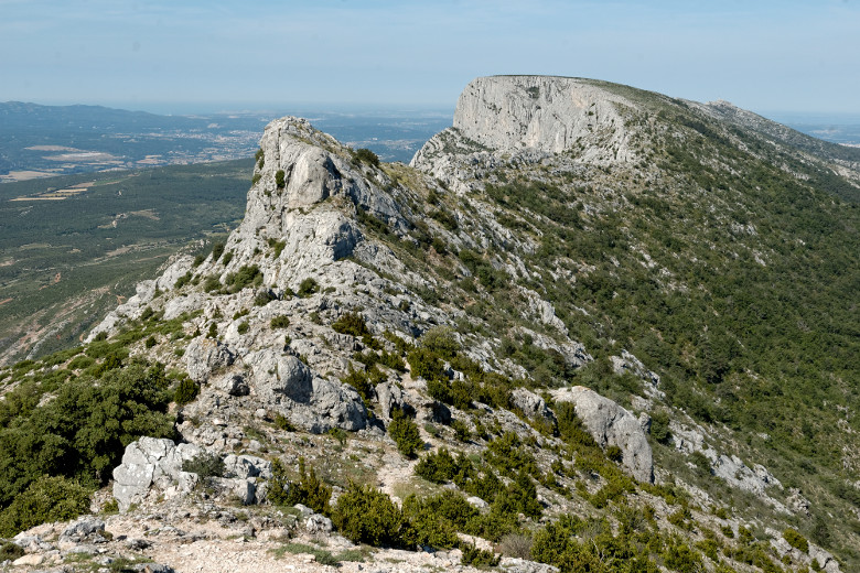
After a little over an hour, we reached the crest of the mountain from where we could look to the north [7], and for the first time also to the south [8]. The scenery got more and more spectacular as we continued to climb [9]. For practically the entire hike, David was constantly ahead of us. What a difference thirty years make... But we were not that far behind [10], and after almost exactly one hour and a half, we all reached the Pic des Mouches, at 1,011 meters (3,317 feet) the highest point of the Sainte Victoire [11]. Clearly visible from here was the rock-lined Plateau du Cengle [12] as was the deep red color of the earth [13]. Some views really did give us the impression of being in an airplane [14]. From the Pic des Mouches we could scarcely sees the Croix de Provence all the way in the distance; in any event, this view showed us what lay ahead [15]. But naturally, we took the time to take pictures on the way [16].
|
|
View north from higher up |
Our first view to the south |
|
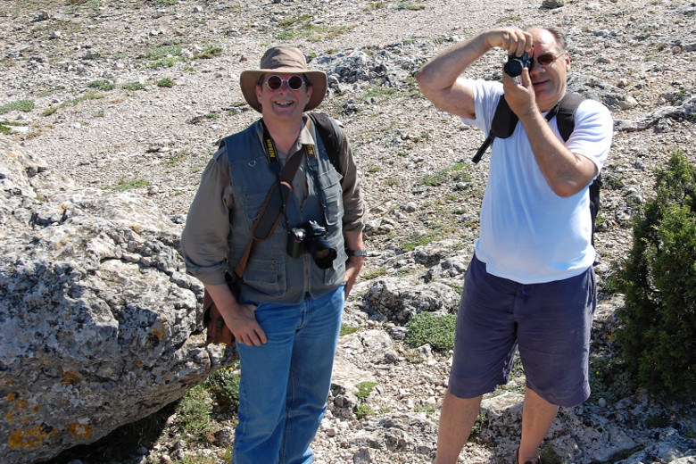
|
We have almost reached the top |
Shootout near the Pic des Mouches |
|
|
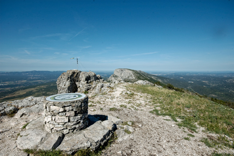
The summit of the Sainte Victoire |
The rock-lined Plateau du Cengle |
|
|
Red earth amid thousands of rocks |
It's a long way down... |
|
|
Where we are headed next |
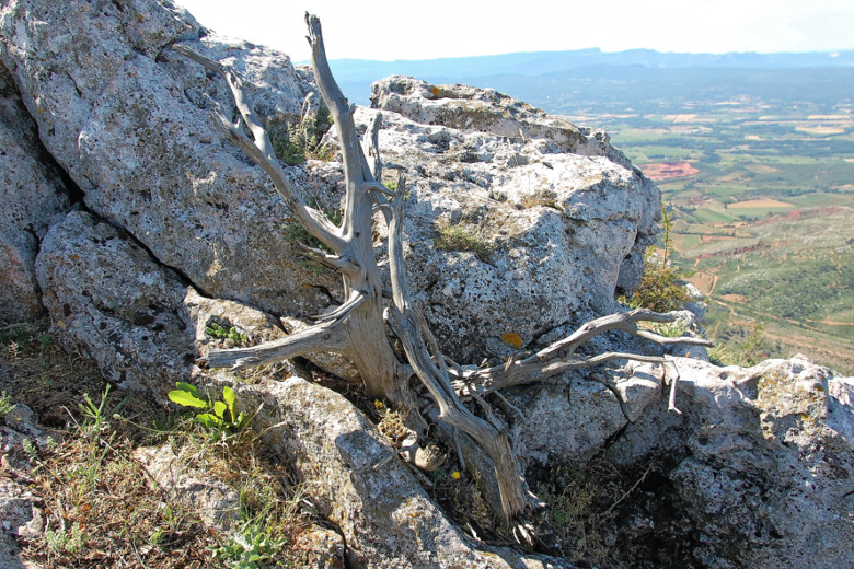
Sainte Victoire still life |
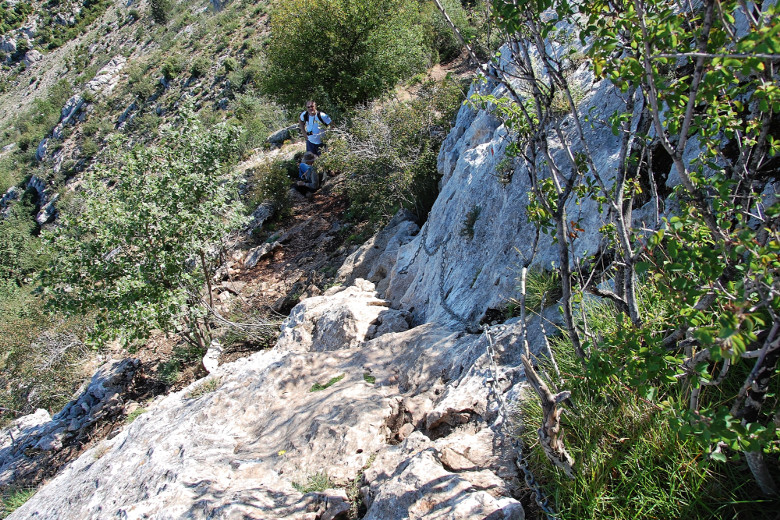
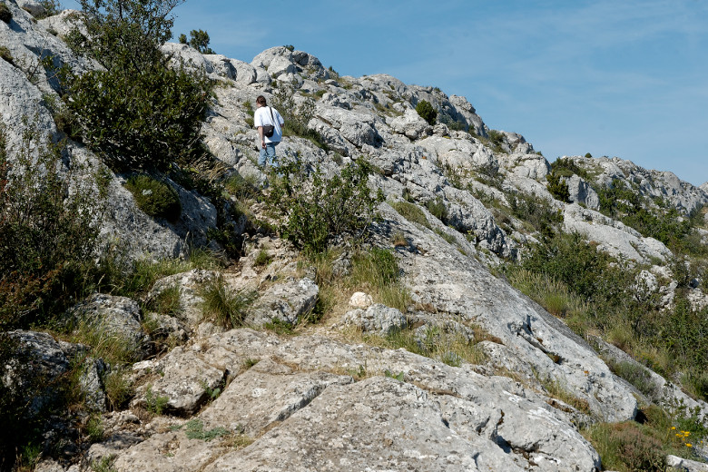
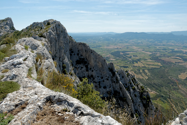
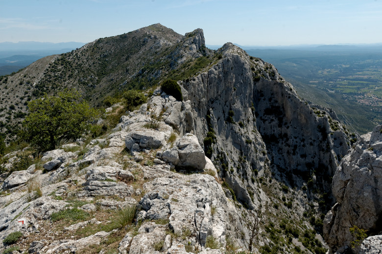
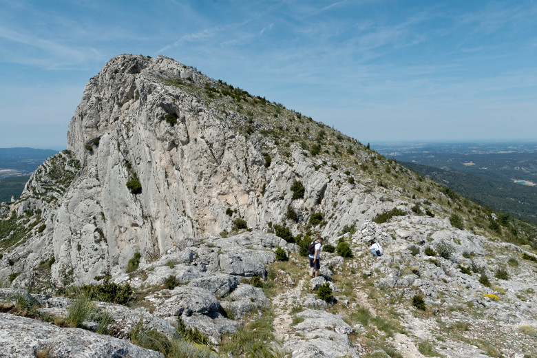
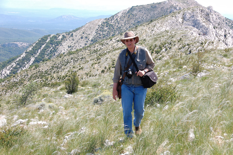
Shortly after leaving the Pic des Mouches we encountered the only tricky part of the hike; fortunately, chains had been anchored to the rock so we could pull ourselves up [17]. After that, it was rocky and steep, but not difficult [18]. Whenever we were near the crest of the mountain, we stopped to admire the view which was truly spectacular [19]. Looking back, I could see that we had already covered quite a bit of ground [20], but turning around, I noticed that my two companions were already on their way. Time to catch up! [21]. The terrain kept changing; it was not technically difficult, but marching through grass and rocks was tedious [22] as one had to keep one's eyes firmly on the ground in order not to trip over something. I thought I knew better and promptly paid the price: I took a fall, cut open my left hand, but luckily managed to keep my camera's lens away from sharp objects. In the end, my dignity suffered the most, even though my hand took a couple of weeks to fully recover and my jeans went into the garbage that same night.
|
|
Getting ready to pull ourselves up |
Climbing back up towards the crest |
|
|
Stopping to admire the view |
Where we came from... |
|
|
...and where we are going to. |
Tricky terrain (as I found out) |
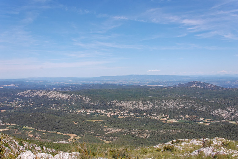
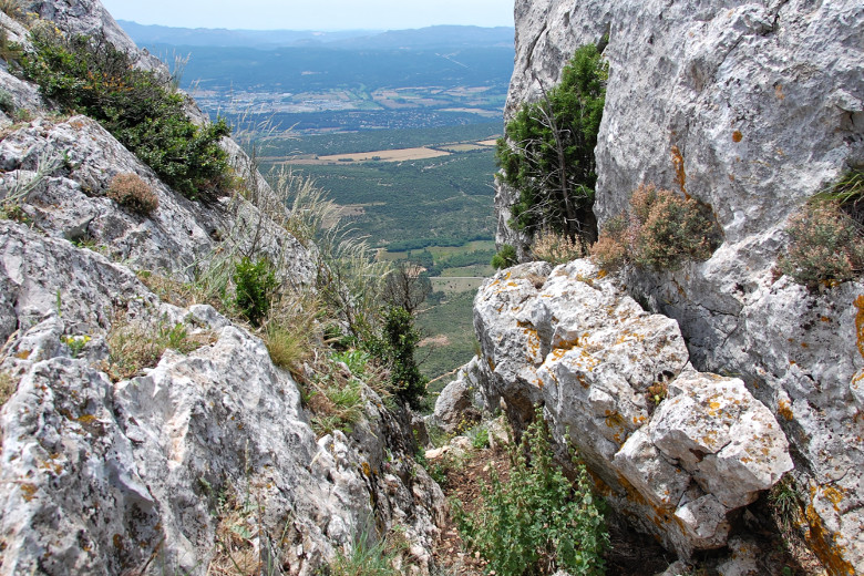
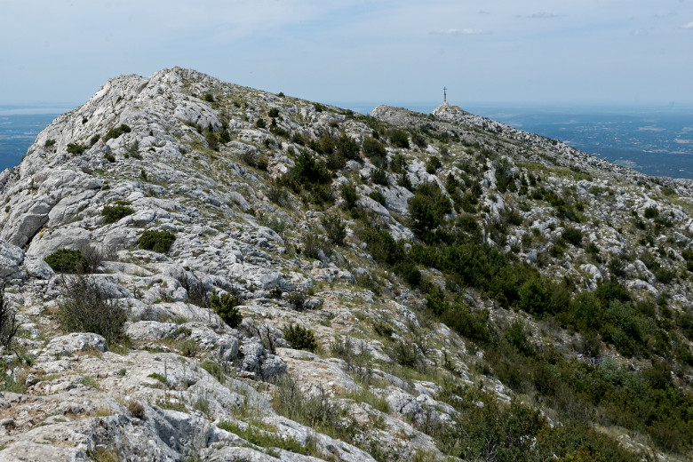
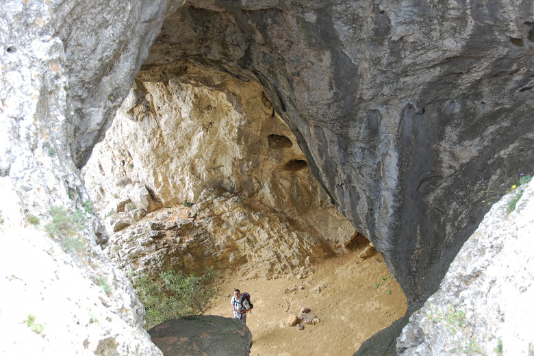
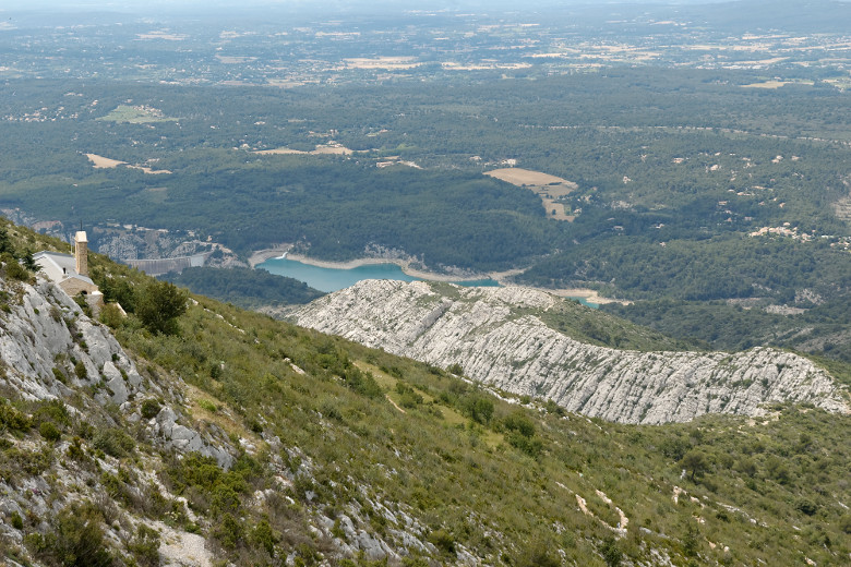
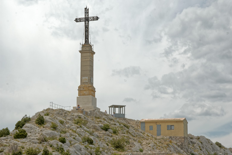
Looking to the north, we could see the village of Vauvenargues we had driven through earlier that day in Didier's car [23]. Picasso owned a castle there and is buried on the property. On the south side, our view was occasionally obstructed by rock formations, but it was just as well: the rocks provided a natural barrier that made walking along the crest much safer [24]. We could now clearly see the original objective of our hike, the Croix de Provence [25], though it would take us another hour and 20 minutes to get there. Shortly before reaching the cross, we saw the Garagaï, a tunnel created by erosion that cuts through the mountain from the north to the south. Adventurous hikers are known to use it as part of their route to the summit [26]; indeed, Didier had already done so in the past. From there, we had an excellent view of the priory located below the cross, of the dam across which our car was waiting all the way in the valley, and of the rocky cliff we still needed to walk across in order to get there [27]. Finally, six hours after we left the Col des Portes, we arrived at the Croix de Provence. [28].
|
|
Vauvenargues down in the valley |
Looking to the south |
|
|
Our objective is in view! |
The Garagaï |
|
|
The priory and the Lac du Bimont |
At the Croix de Provence |
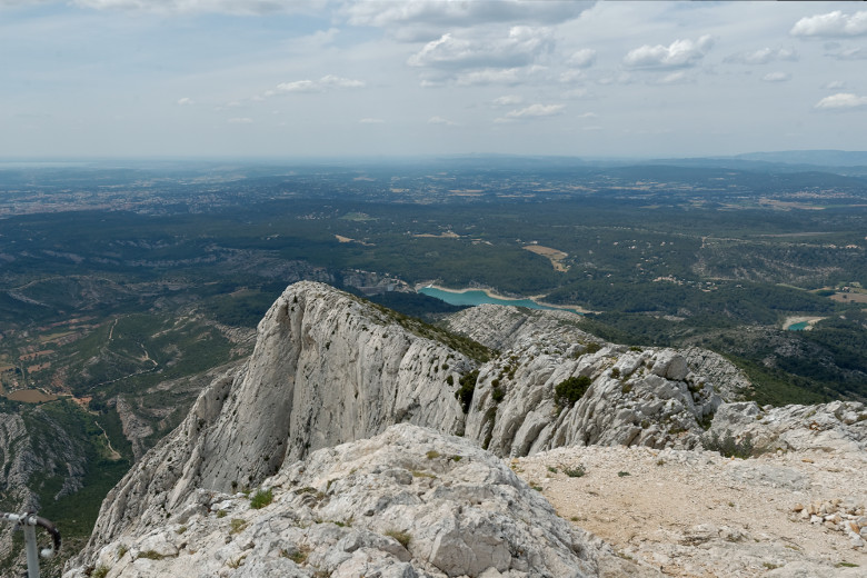
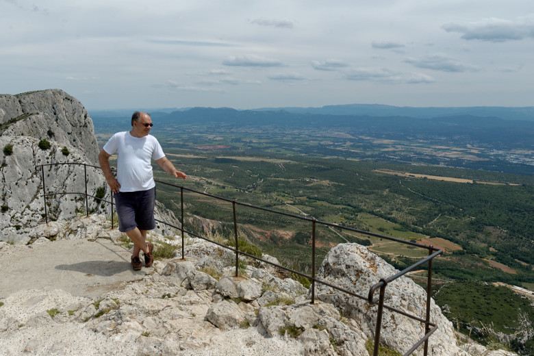
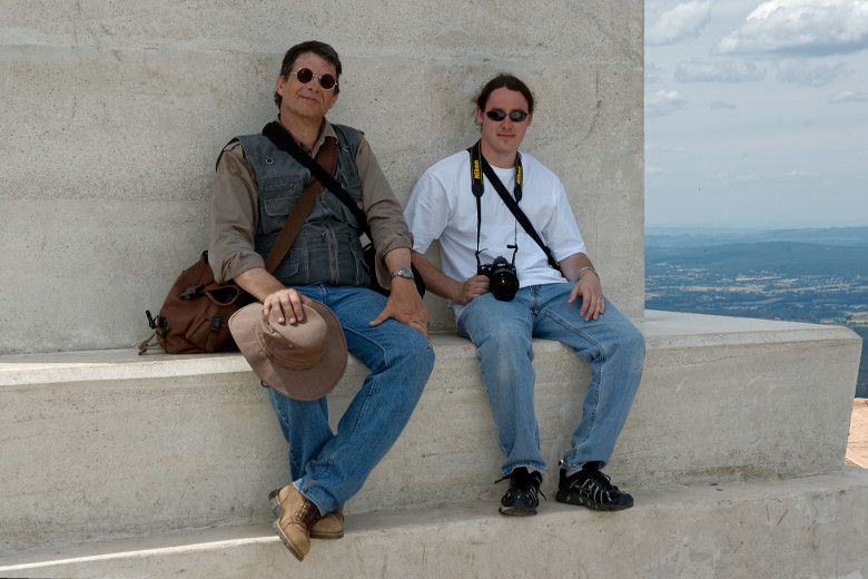
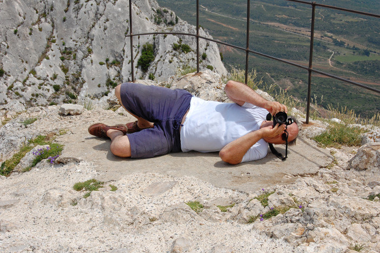
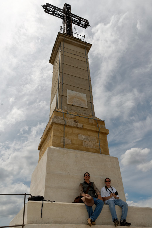
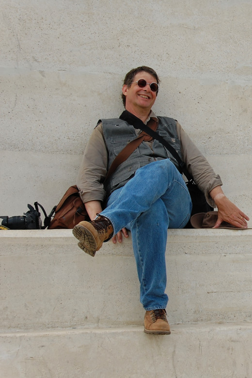
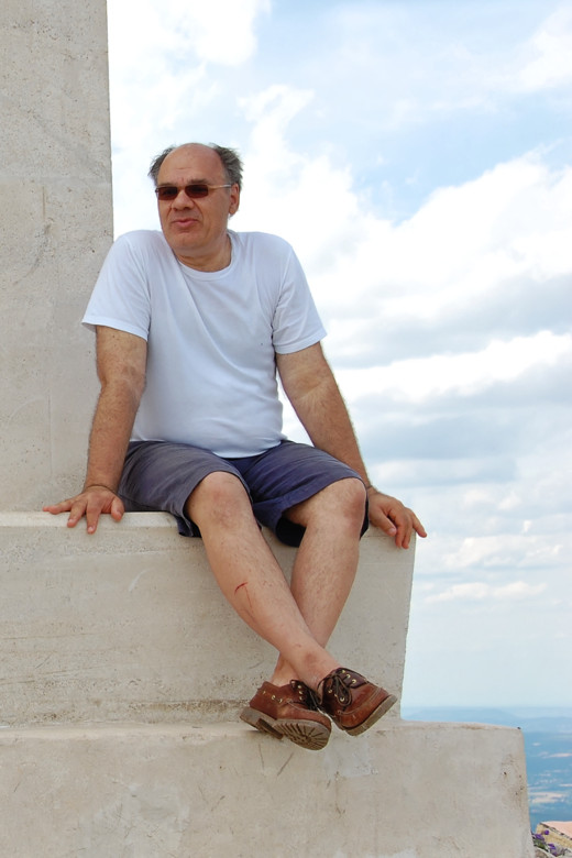
The view from the Croix de Provence was truly spectacular [29]! Didier had been there before [30], but for David and me it was a first. It felt particularly good after having failed to make it up here in February. What also felt great was to finally be able sit down, even if it was just for a few minutes [31]. I gave Didier my D70 and asked him to take a photo of us to commemorate the occasion; because the cross is almost twenty meters (65 feet) tall, he had to be creative to find a proper angle, but he finally managed [32] if one goes by the result [33]. Then we all rested beneath the cross for a while [34], [35] and drank our last few (and I do mean few) drops of water. Thirst was to be my biggest problem from then on. Around 3 p.m. we started to make our way down to the priory [36].
|
|
The view from Croix de Provence |
Didier admiring the scenery |
|
|
Finally we get to sit down! |
Trying to find the proper angle |
|
|
Proof: We were there! |
Tired but happy |
|
|
Didier relaxing |
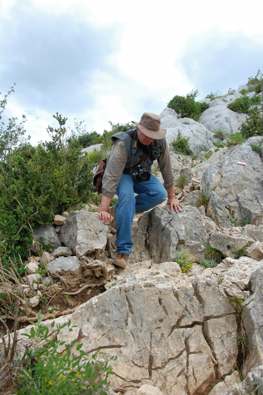
Easy does it |
This was an extremely steep part of the hike, and we had to climb down large rocks. Being tired and thirsty, it was best to hold on to whatever we could [37]. Fortunately, we did not have far to go to reach the priory. The original structure goes back to the end of the 17th century, but it was recently restored by an association of volunteers (link in French only); their work is obvious as soon as one gets closer [38]. We did stop a few minutes in the courtyard of the priory [39] before continuing our journey. Just how steep the path was became obvious when we looked back towards the cross from roughly halfway down the mountain [40]. From there, we still had to hike along the rocky cliff we had seen from above [41], and follow the path through the woods to the dam [42] after that.
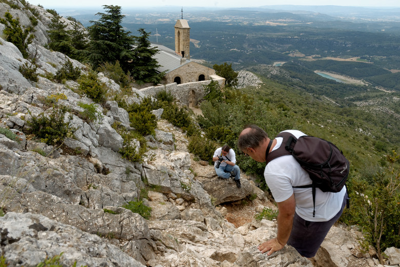
|
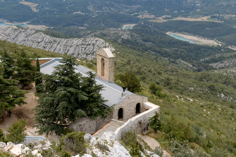
|
Making our way down to the priory |
The recently restored priory |
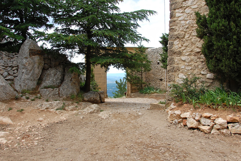
|
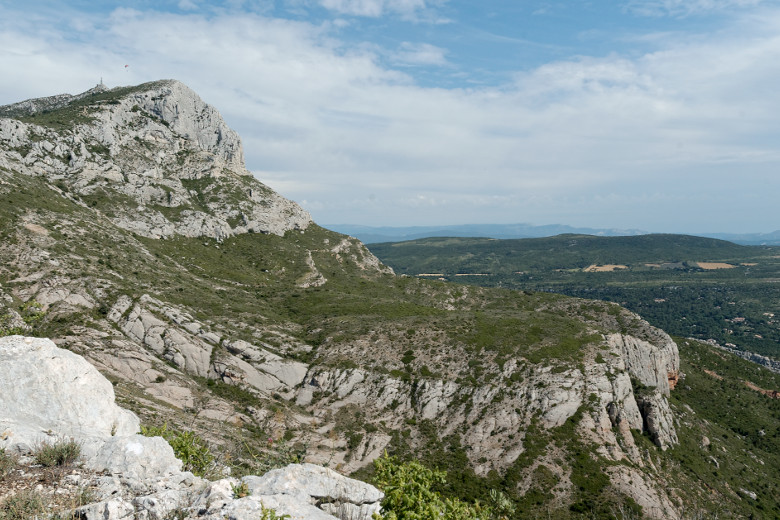
|
In the courtyard of the priory |
Looking back up towards the cross |
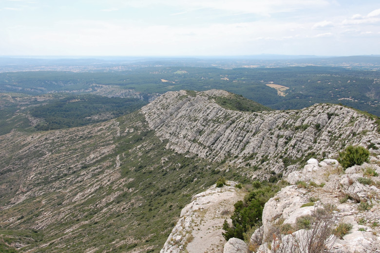
|
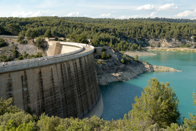
|
One more rocky cliff to conquer |
At the barrage de Bimont |
Hiking down to the dam from the Croix de Provence normally takes just under two hours. This time, fatigue and shortage of water combined to turn it into a three hour trek. Because we had not anticipated hiking along the entire length of the mountain, we had not taken enough water with us. By the time we got to the car, I had lost my voice because my vocal chords had completely dried up. Of course, we had plenty of water in the car, but it was warm. Fortunately, right after the dam, there was a fountain dispensing cool and delicious drinking water. We filled (and promptly emptied) our bottles several times. This, I think, was the number one lesson learned from this trip: one needs to bring a great deal of water. The excursion does not present any technical difficulties, but as I found out the hard way, one cannot take one's eyes off the path, not even for an instant. Certainly, and especially in retrospect, I can say that this was one of the most spectacular hikes I've been on. The sheer beauty of the scenery and the satisfaction at the end of the day made all the fatigue and thirst fade away very quickly.
Home | Site Info | Family | The Area | Trips | France | Work | Rants | Photography | Odds & Ends
This page was last modified on November 29, 2014
Send feedback about this page to feedback@kiechle.com
https://www.kiechle.com/area/victoire/victoire.htm
(optimized for Retina display)
All contents © 1999-2026 The Kiechles