
Click on the map to display it full size or download a PDF version
This page contains photos of an April 15, 2007 hike to the Puy de Tourrettes and Pic de Courmettes. Ever since I walked around the Gorges du Loup and visited the Domaine de Courmettes I wanted to see what the view from the Pic de Courmettes was like. I had also seen a few websites that described it as wonderful, but there were not too many pictures. I decided to do something about it. An updated versin of this page may be found here.
Click on any of the small images below to see a larger version!
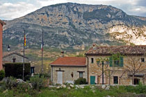
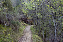
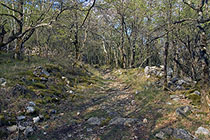
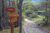
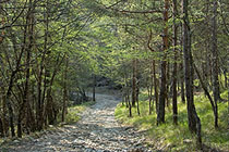
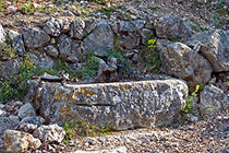
The journey started in the tiny village of Courmes [1] and initially followed the same paths I had already taken during the Gorges du Loup hike in early March. Now, a little over one month later, there were many more leaves on the trees [2]. At around 9 AM, the sun began filtering through the branches, and the light got better [3]. After about 40 minutes, I reached the part were the GR51 turns to the left [4] ('GR' stands for Grande Randonnée and denotes major hiking trails. See this page for more information). The last time, I had followed the path towards the Domaine de Courmettes; this time, I would be coming back from there, so I made the left turn and stayed on GR51. After having climbed steadily since Courmes, the path now adopted a gentle downhill slope through a wooded area [5]. On the way, I passed this lovely rock fountain [6].
|
|
|
We begin in Courmes... |
...and follow the path... |
...through the woods... |
|
|
|
...to where the GR51 turns left |
Following the GR51 |
Rock fountain |
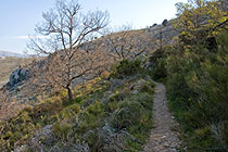
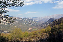
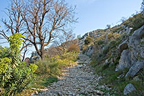
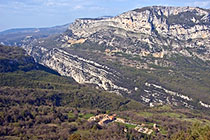
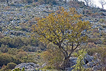
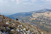
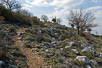
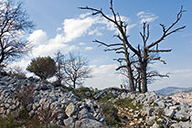
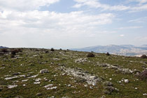
Eventually, the path started climbing again, and pretty soon I got out of the woods and into the open [7]. With no trees in the way, the view opened up dramatically [8]. The path at this point was really rather easy [9]; the main difficulty consisted in not tripping over a rock while admiring the scenery. From here, I had an excellent view of the Gorges du Loup and the village of Courmes far below [10]. I had covered quite a bit of ground in one hour and fifteen minutes! After a while, I abandoned the GR51 and turned right to start ascending the northwest side of the Puy de Tourrettes [11]. The view was opening up more and more as I got higher [12]; at the same time, the path, where it existed at all, got steeper [13] and more and more rocky [14] until I reached the summit, a fairly large gently sloping field [15].
|
|
|
From the flank of the mountain... |
...the view is magnificent. |
Climbing higher still |
|
|
|
Courmes and the Gorges du Loup |
Some trees have leaves already! |
Climbing the Puy de Tourrettes |
|
|
|
The path is getting steeper... |
...and more rocky... |
...until we reach the summit |
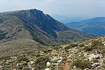
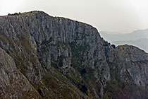
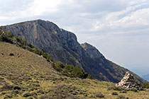
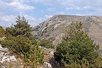
Here, we are at 1,268 meters (4,160 feet) above sea level. It had taken me almost exactly two hours to get to the highest point of the hike [16]. From here, I also had an excellent view of the Pic de Courmettes [17] and its craggy and uninviting (unless one is into rock climbing) west face [18]. To get to the Pic de Courmettes, I made my way down the south side of the Puy de Tourrettes until I reached the lowest point between the two peaks; a cairn marked the spot [19]. Then I started climbing again. Looking back, it became evident just how steep the path down the Puy de Tourrettes really had been [20]. The summit of the Pic de Courmettes was the perfect spot to have lunch and relax for a while [21].
|
|
|
On top of the Puy de Tourrettes |
View towards the Pic de Courmettes |
We'll stay away from that part |
|
|
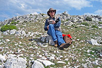
|
Between the two peaks |
Looking back to the Puy de Tourrettes |
On top of the Pic de Courmettes |
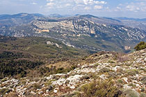
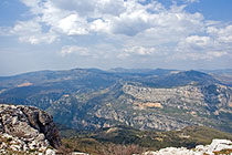
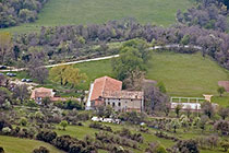
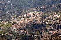
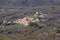
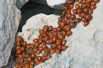
Even though at 1,248 meters (4,094 feet), the Pic de Courmettes is not quite as high as the Puy de Tourrettes, it is from here that the view is the most spectacular [22]. Looking down the mountain's south side, once can clearly see the Domaine de Courmettes [23]. To the southwest lies the village of Le Bar-sur-Loup [24], whereas in the northwest, we can see Courmes where the car is waiting, some 630 meters (2,067 feet) below [25]. On the summit, many rocks were literally covered with overwintering ladybugs, a rather unusual sight [26]. Soon it was time to head back down; there was no real path, but as long as one headed in the correct general direction and kept going downhill, one should be on the right track, or so I thought [27].
|
|
|
What a view! |
The Domaine de Courmettes |
The village of Le Bar-sur-Loup |
|
|
|
Courmes seen from above |
Overwintering ladybugs |
Leaving the summit |
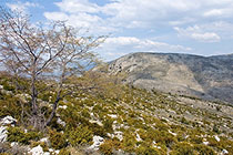
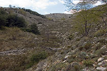
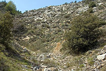
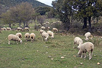
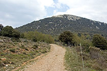
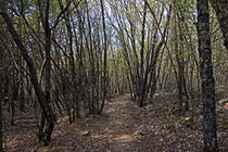
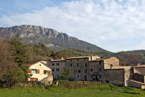
Rather than climb up the extremely steep path to the Puy de Tourrettes again and head back the way I had come, I decided to make my way down to the point between the two mountains and then head southeast down the ravine to eventually join the path that leads to the Domaine de Courmettes. In retrospect that was a really bad idea. While things looked pretty good in the beginning [28], the terrain got progressively worse [29] until I had to put away the camera and keep going down very carefully indeed. In fact, it is absolutely possible to walk down that side, but one should follow the edge of the forest instead of climbing down the ravine. Eventually, I got stuck and had to backtrack until I could make my way to the main path. From then on it was easy. I passed a herd of sheep by the Domaine de Courmettes [30] and continued up towards the Plateau de Courmettes [31]. I joined GR51 again at the spot I had passed in the morning [4] and continued down through the woods on the same path I had come up a few hours earlier [32] to reach Courmes. Standing by the car, I took a last photo of the Pic de Courmettes [33].
|
|
|
On the way down... |
...the terrain gets increasingly rough |
Sheep at the Domaine de Courmettes |
|
|
|
Up to the Plateau de Courmettes... |
...and down through the woods... |
...back to Courmes |
With all the ups and downs, one climbs some 950 meters (3,117 feet) during this hike. Because I spent quite a bit of time on the summit of the Pic de Courmettes and lost a great deal of time on the way down, the entire trek took over eight hours, almost nine if one includes the emergency beverage break upon arrival in Courmes. The whole thing could be done in much less time, and provided one stays on marked paths or doesn't get stuck in ravines, there is no difficulty whatsoever. A highly recommended excursion!
Home | Site Info | Family | The Area | Trips | France | Work | Rants | Photography | Odds & Ends
This page was last modified on April 20, 2007
Send feedback about this page to feedback@kiechle.com
https://www.kiechle.com/area/piccour/piccour.htm
All contents © 1999-2026 The Kiechles