
Click on the map to display it full size or download a PDF version
This is an update of the page published in 2007. All images have been reprocessed from the original raw files, the thumbnail size was increased to 840x560 (displayer as 420x280), and the large photos to 2,400x1,600. Most of the rest of the page remains the same.
This page contains photos of a March 3, 2007 trek around the Gorges du Loup, a spectacular canyon that extends northwards from the village of Pont du Loup. The excursion follows the Aqueduc du Foulon all the way to the hamlet of Bramafan. There, one crosses the river and climbs first to Courmes, and then further up to the Plateau des Courmettes from where one has a spectacular view over the entire seaboard.
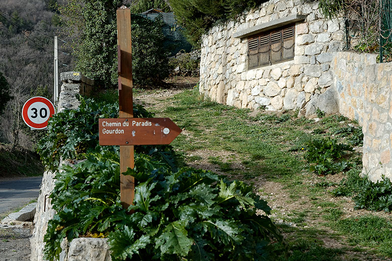
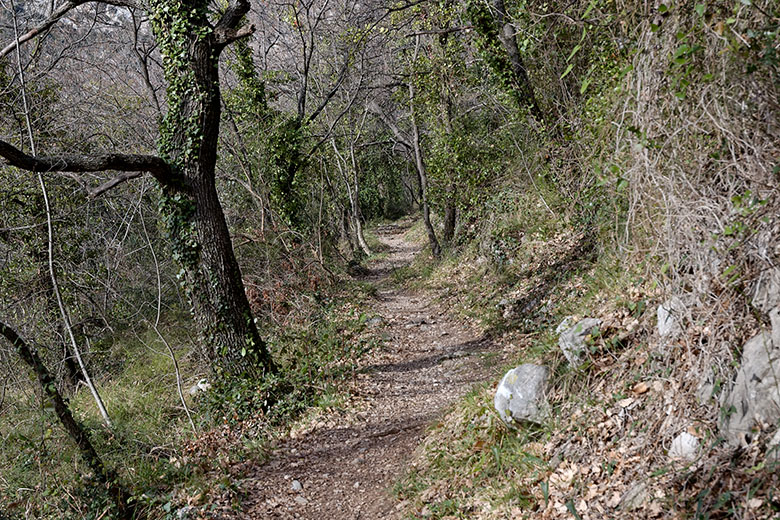
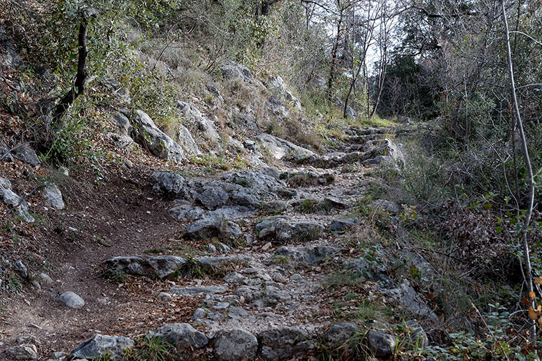
The journey starts in the small parking lot in the center of Pont du Loup [1]. From there, one walks along the road to Bar-sur-Loup for about 50 meters, then one takes the little road that leads behind the pillars of the old railway bridge. One follows this road for not quite a kilometer until one sees the sign for the Chemin du Paradis on the rights side [2]. The Chemin du Paradis [3] is so named because a long time ago, the residents of Patarast, as the village used to be called (it was renamed Pont du Loup when the railroad bridge was completed in 1892) used it every Sunday to attend mass in Gourdon. Given how steep the path is [4] I found this impressive until I heard that they made the journey on the back of mules. Surely there must be a paradise for mules!
Click on any of the small images below to see a larger version!
|
|
Ten to nine in the morning: mine is the only car in the lot |
The climb begins... |
|
|
...at first gently... |
...and then more steeply. |
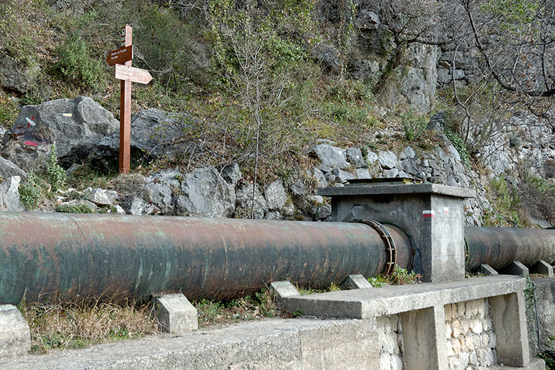
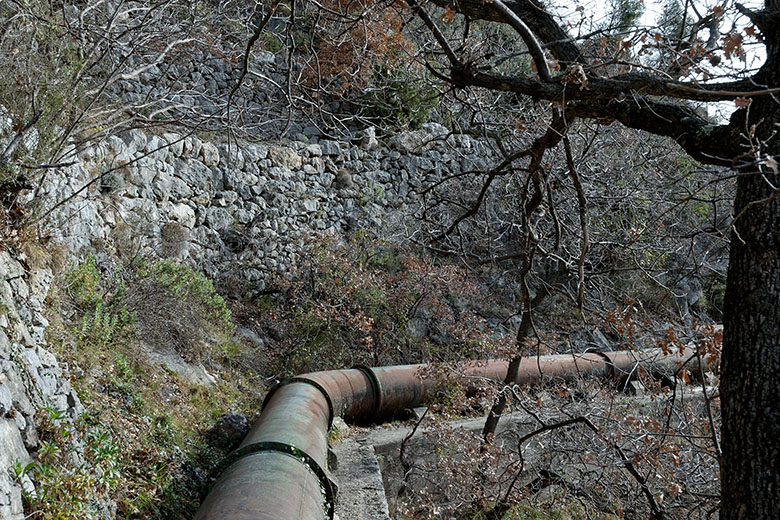
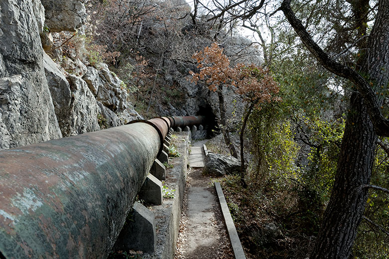
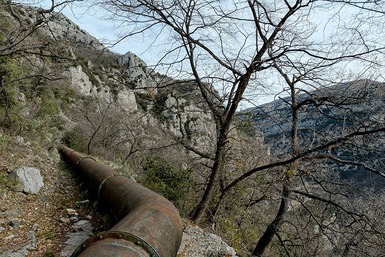
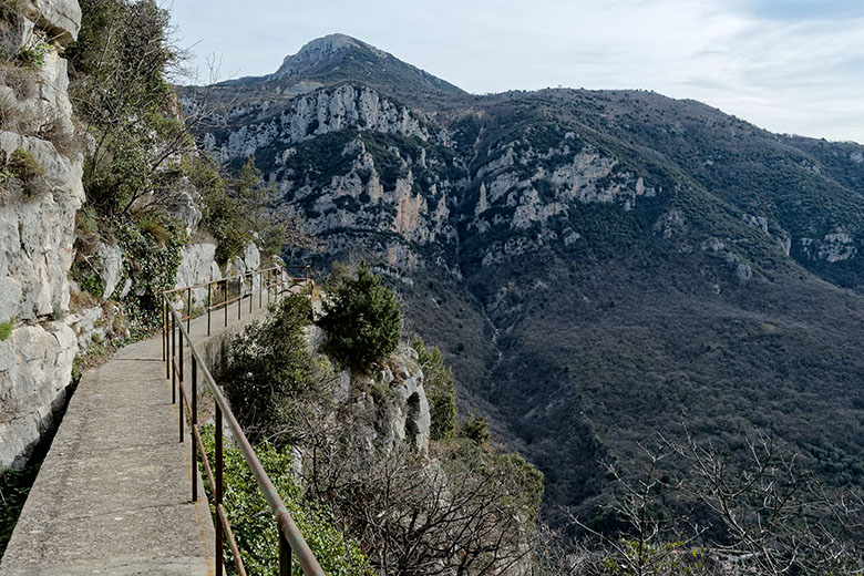
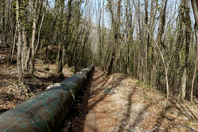
About halfway up to Gourdon, one gets to the Aqueduc du Foulon, (a pipe of some two feet in diameter that carries drinking water from Gréolières to Grasse) [5]. It is not immediately obvious, but the trail continues on the very narrow little walkway next to the pipe [6]. The walkway soon gets a little wider [7], [8], but it is still a very good idea to watch where one puts one's feet, especially since the path does curve [9]. Occasionally, there is a bannister [10], but a quick check reveals that it has more psychological than practical value: it is decidedly wobbly and one wonders what might happen if one had to rely on it. Turning around a corner, one can see the walkway hugging the rock wall [11], approximately in the center of the image. Occasionally, the sorry condition of the guard rails becomes all to evident [12]. I remember reading on another web site that this hike was suitable for children five years and older; personally, I think brining a five-year-old up here would be criminal.
|
|
The Aqueduc du Foulon |
Not much space to walk on |
|
|
It's a little wider here |
Mostly straight as an arrow... |
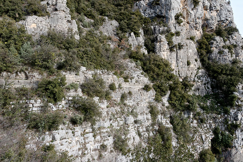
|
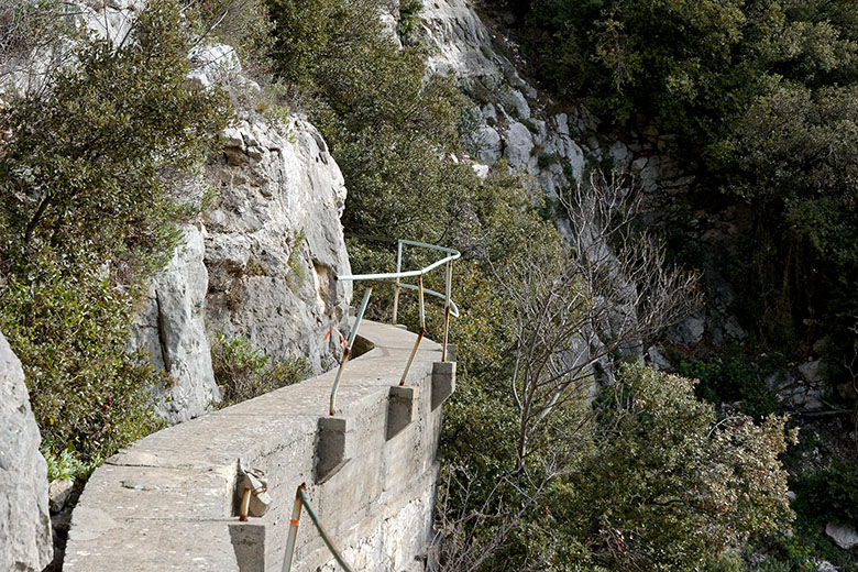
|
...but it handles curves, too. |
Sometimes there's even a bannister |
|
|
The path hugs the rock wall |
Don't count on that guard rail! |
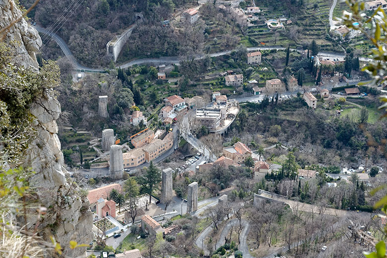
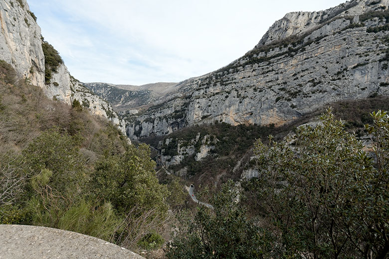
Soon, one has progressed enough to be above Pont du Loup and one has a lovely view of the place [13]. The pillars of the curved railroad bridge that gave the village its name and that was blown up in 1944 (some say by the Germans, some say by local people) are plainly visible. At the far end of the bridge we can see the tunnel trough which we will walk at the end of this excursion
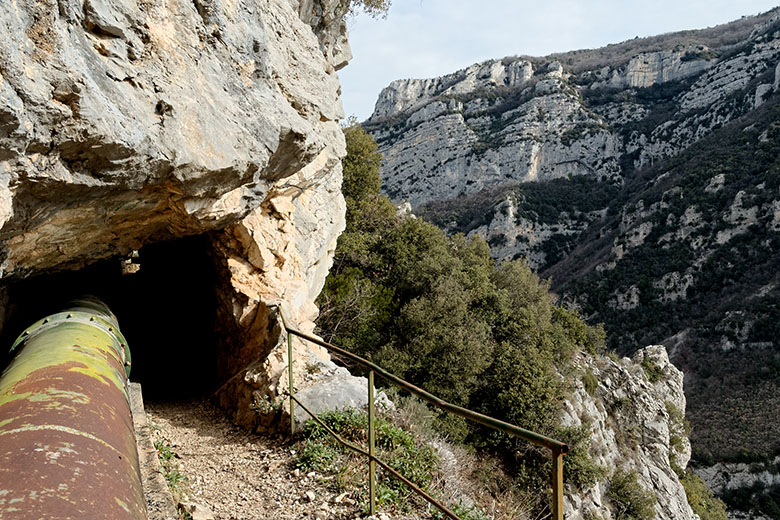
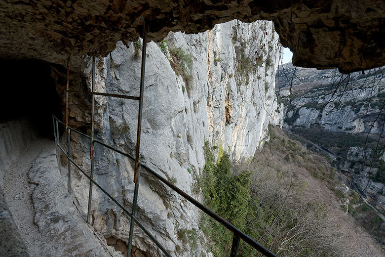
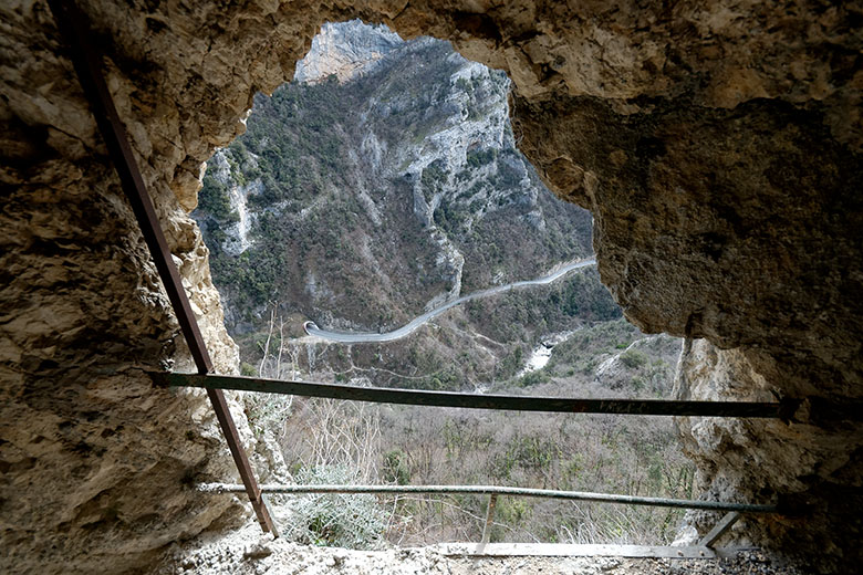
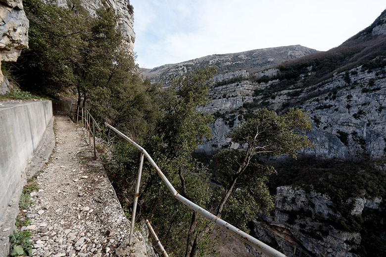
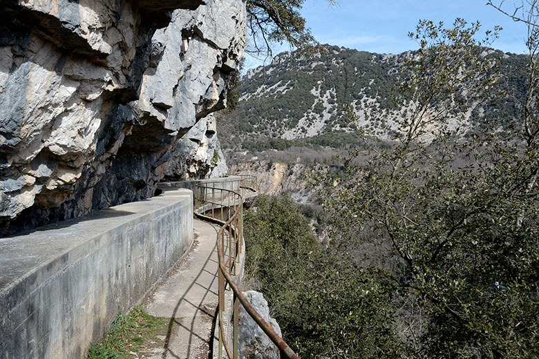
Continuing, we see that the path enters one of many tunnels [14]; there are 22 in all. Walkways offering magnificent views of the canyon [15] alternate with tunnels; these tunnels vary in length from a few steps to some 300 meters. Most of them are very low and narrow, and many contain puddles formed by leaks in the pipe. A flashlight is absolutely mandatory for this portion of the hike. In a couple of spots, openings have been cut into the rock wall [16] affording superb views into the Gorges du Loup [17]. Again, it's best to stay away from the bannisters! [18]
|
|
Pont du Loup seen from above |
One of 22 tunnels |
|
|
The Gorges du Loup |
View from inside one of the tunnels |
|
|
Another window further on |
Another bannister in need of repair |
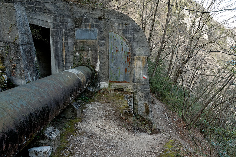
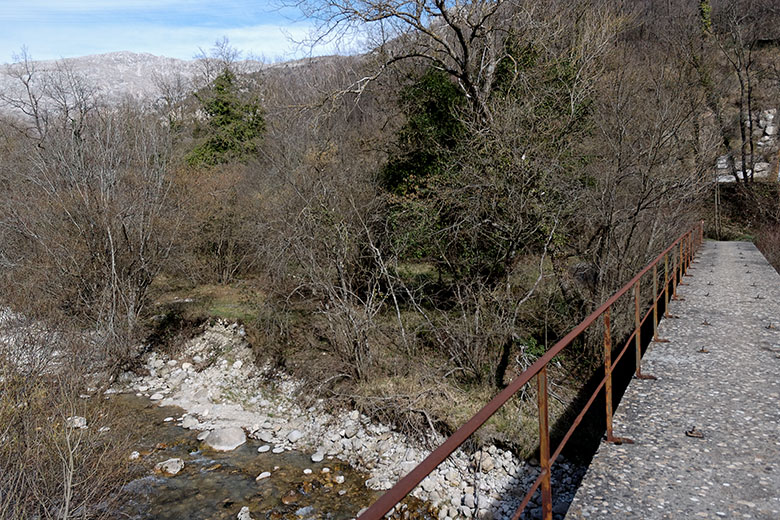
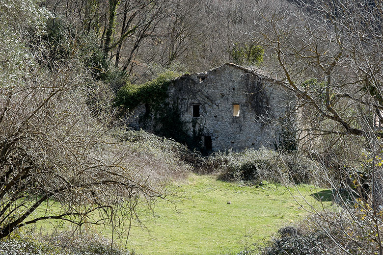
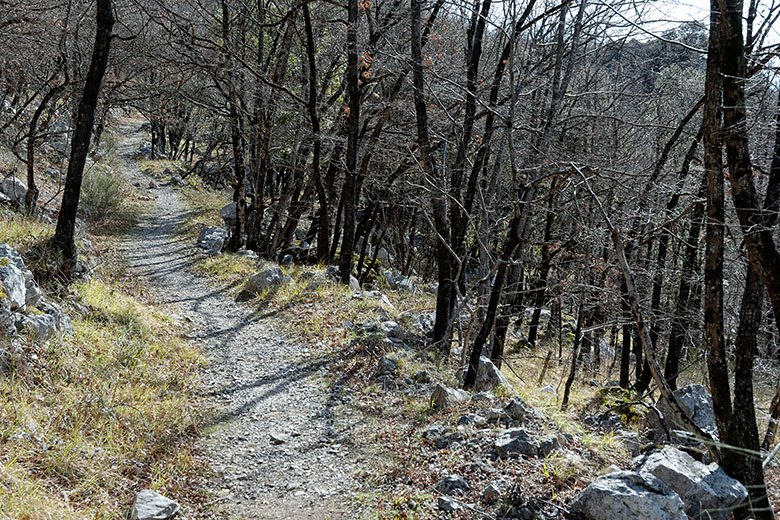
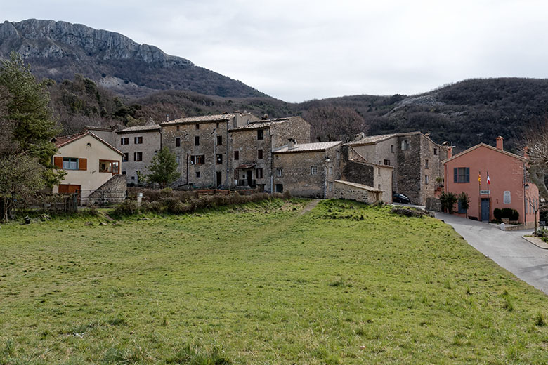
Over large portions, the pipe is encased in concrete, presumably to protect it from falling rocks, and in some parts, the walkway literally overhangs the void [19]. Eventually, the ragged, rocky terrain gives way to a lovely wooded area [20]. This, however, is only temporary: After crossing the route départementale D3 (which runs from Gourdon to Gréolières) there are two more tunnels before the spot where one parts company with the pipe [21]. The path drops sharply to the right, straight down to the Loup river, and continues across a bridge at Bramafan [22]. This hamlet consists of just a couple of houses, and one of them is this handyman's special [23].
|
|
The walkway floats above the void |
From the rocks into the woods |
|
|
Here we leave the aqueduct... |
...and cross the Loup at Bramafan. |
|
|
We leave Bramafan behind... |
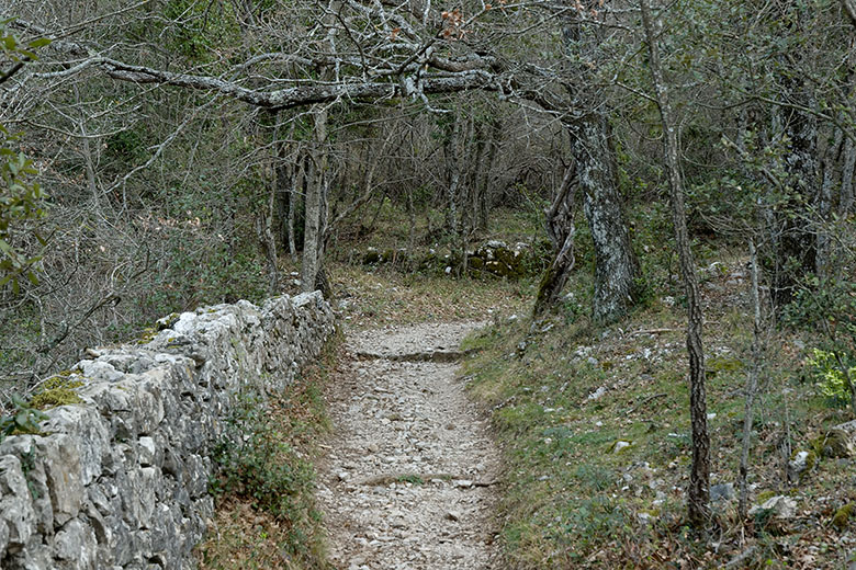
...and start the climb... |
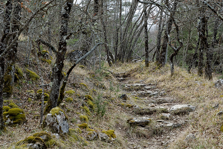
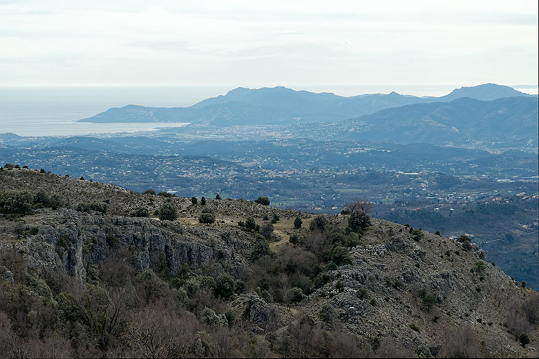
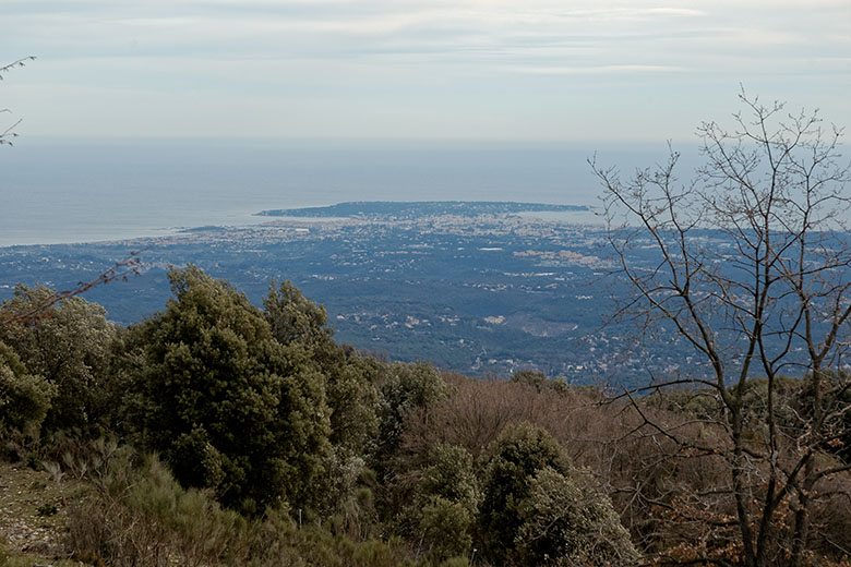
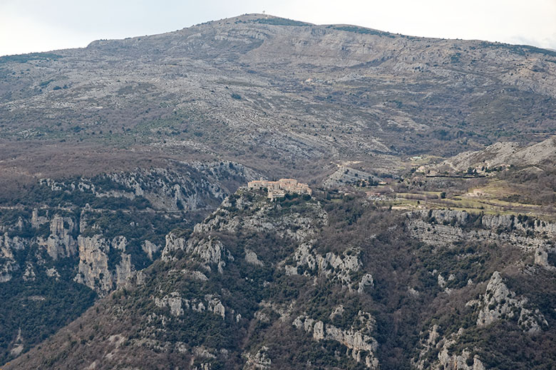
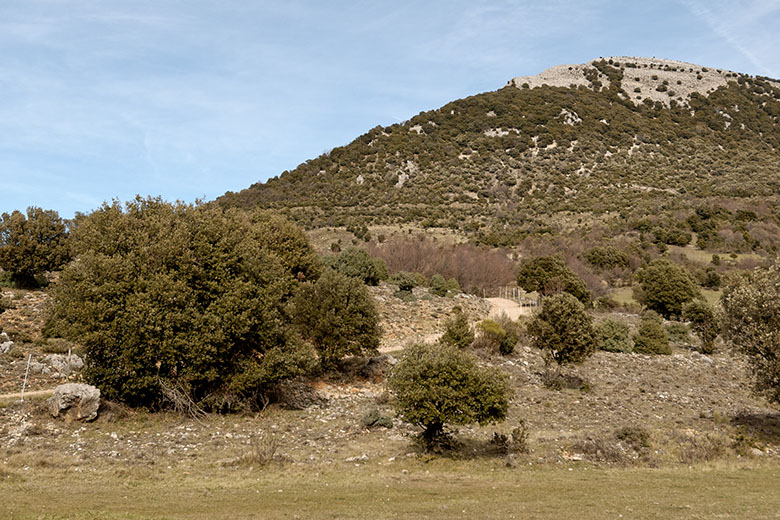
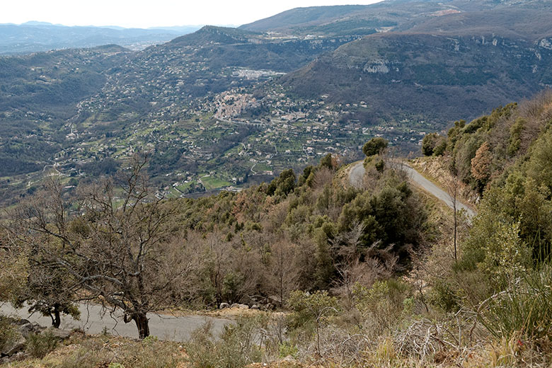
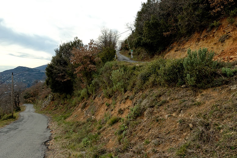
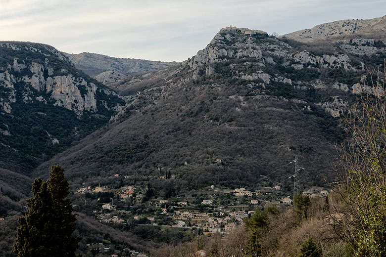
But no sooner has one reached the bottom that the trail starts climbing again, this time up the east side of the canyon [24]. After about an hour, one reaches the village of Courmes [25]. It then takes a little over an hour to continue [26], [27] an reach the Plateau des Courmettes, some 300 meters (roughly 1,000 feet) above Courmes. From there, one has a phenomenal view all the way to the Esterel [28] and the Cap d'Antibes [29]. One can also look down on Gourdon across the gorge [30], or, turning around, to the Pic de Courmettes [31]. Immediately below is the Domaine de Courmettes, and afterwards the path turns into a real, albeit small, road, which one has to follow all the way to the bottom. This takes about an hour. The scenery remains gorgeous (here a view of the village of Bar-sur-Loup [32]).
|
|
...to the village of Courmes. |
There's more climbing to do... |
|
|
...to the Plateau de Courmettes. |
The view towards the Esterel... |
|
|
...and the Cap d'Antibes. |
Looking across to Gourdon |
|
|
The Pic de Courmettes |
Le Bar-sur-Loup in the valley |
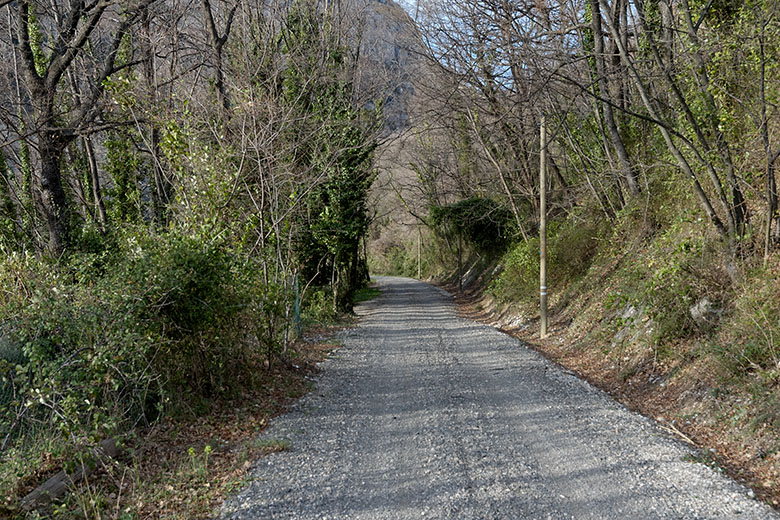
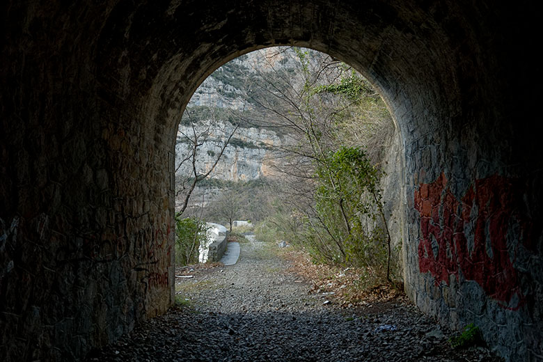
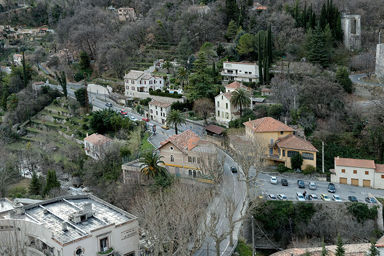
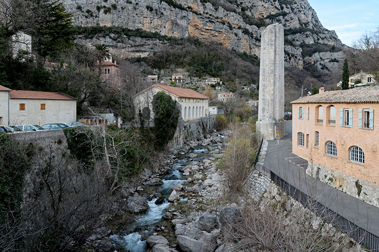
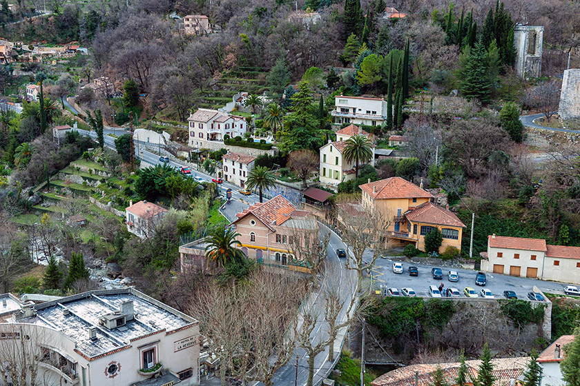
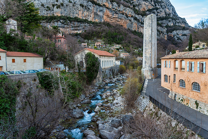
Still, walking along a road quickly becomes tedious, especially since it is so steep that taking shortcuts by going straight down and bypassing the hairpin turns is not practical [33]. Getting lower, one can get a feel for just how high up Gourdon is perched [34]. Once one gets to the bottom, it takes a little over half an hour to reach Pont du Loup. For the last stretch, one walks on what used to be the old narrow-gauge railroad line [35]. It's fun to take the ten minute detour to walk through the old railway tunnel [36] that was seen previously from the aqueduct. From the other side of the tunnel, one overlooks the tiny village and the parking lot where the car is waiting [37]. Five minutes later, returning through the tunnel and down into the village, we are back where we started [38].
|
|
The road down |
We're well below Gourdon already |
|
|
The last stretch |
A quick detour through the old railway tunnel |
|
|
The view from what's left of the bridge |
A few minutes after 5 p.m. we are back in Pont du Loup |
This hike, which took a little over 8 hours, is highly recommended for anyone who doesn't suffer from vertigo (narrow walkways high up with sometimes missing or broken guard rails), or claustrophobia (occasionally very low and extremely narrow tunnels). Contrary to what other web sites are saying, it is definitely not recommended to bring small children along. However, a flashlight is mandatory.
Happy Trails!
Home | Site Info | Family | The Area | Trips | France | Work | Rants | Photography | Odds & Ends
This page was last modified on November 1, 2025
Send feedback about this page to feedback@kiechle.com
https://www.kiechle.com/area/loup/index.htm
(optimized for Retina display)
All contents © 1999-2025 The Kiechles