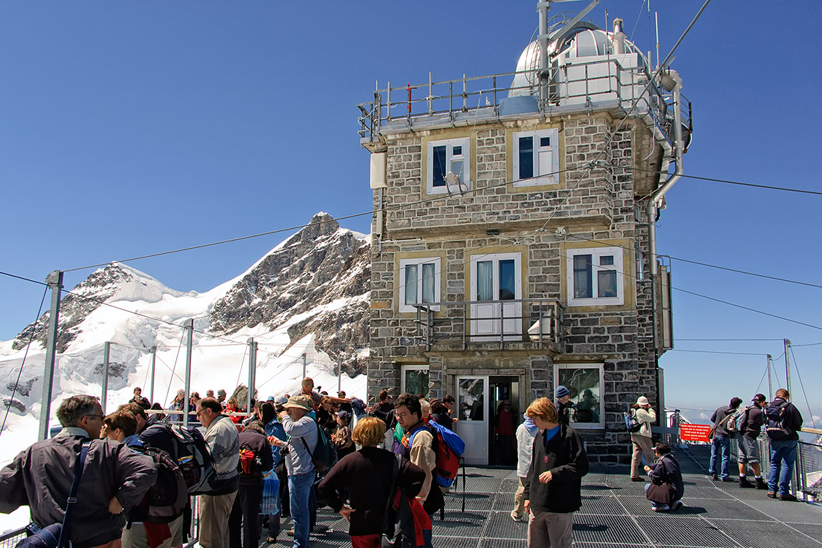
The Sphinx Observatory on the Jungfraujoch (3,550 meters or 11,647 feet above
sea level) is the highest point in Europe reachable by public transportation.
Click on any of the small images to see a larger version!
In late July 2004, while Vicki and Eric were still in the United States, David and I spent a few days in Switzerland, and since the weather was glorious, we decided to head for the Jungfraujoch, the Top of Europe. At 4,158 meters (13,642 feet), the Jungfrau is the tallest of the famous alpine trio Eiger, Mönch, and Jungfrau, without a doubt the most famous mountains in the Bernese Oberland, and probably second only to the Matterhorn in all of Switzerland. In the late 1800s, some ingenious (though probably slightly crazy) people came up with the project of building a railroad line to the Jungfrau. Originally, the intention was to go all the way to the summit, but after 16 years of construction and huge budget overruns, it was decided not to go higher than the Jungfraujoch. Still, at 3,454 meters (11,332 feet) above sea level, the Jungfraujoch is the highest train station in all of Europe.
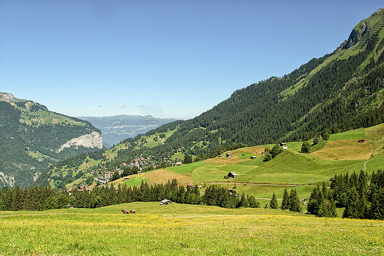
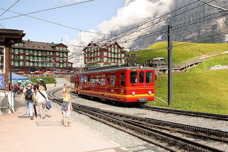
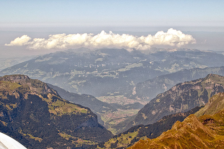
For the journey, we picked Wednesday, July 28, which turned out to be perfect. We were joined by my cousin Evelyne, and the three of us drove to Interlaken where we boarded a train for Lauterbrunnen and from there to the Kleine Scheidegg. For those who would like to follow this on a map, I have one available here, suitable for printing in A4 or US Letter format (709K). The cog-wheeled train made its way up the mountain, past the village of Wengen, visible in the background [1]. For the final climb, one has to change to the actual "Jungfraubahn" at the Kleine Scheidegg [2].
|
|
Landscape around Wengen |
The Kleine Scheidegg |
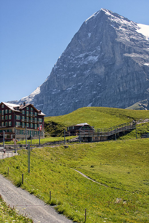
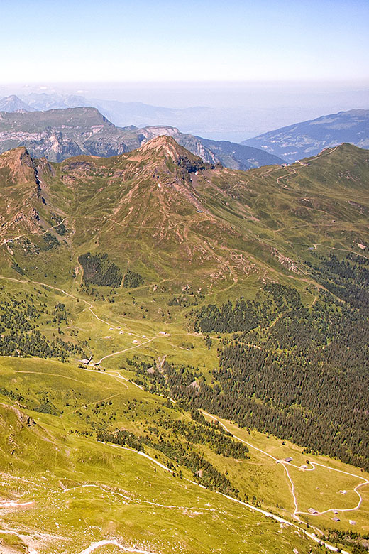
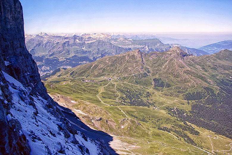
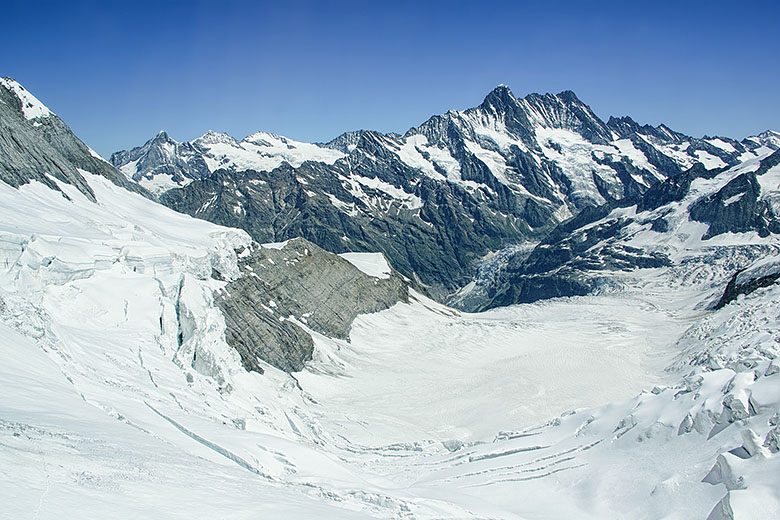
From there, one has an excellent view of the famous "Eigernordwand", the north face of the Eiger [3], but almost immediately, the train enters a tunnel for the rest of the journey. The tunnel curves through the Eiger and traverses the Mönch before stopping at the Jungfraujoch rail station. On the way, the engineers built two stops where they placed bay windows right into the mountainside! At the first stop, Eigerwand (Eiger Wall), one has a spectacular view to the north [4] and [5], while from the second, Eismeer (Sea of Ice) one looks out the south side of the mountain [6]. When one considers that this was all built about one hundred years ago, it is an amazing technological achievement!
|
|
The North Face of the Eiger |
Looking out the Eigerwand |
|
|
View from the Eigerwand |
View onto the Sea of Ice |
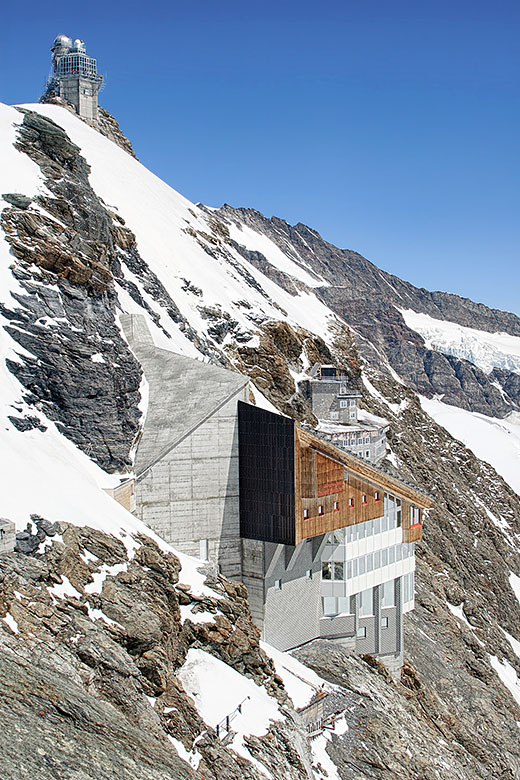
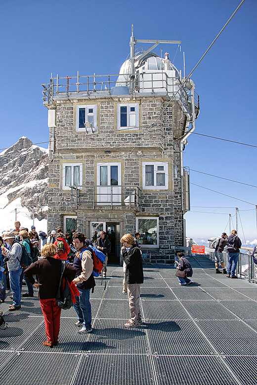
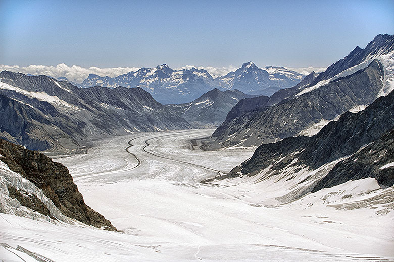
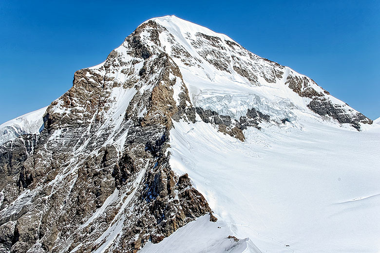
The Jungfraujoch station itself is inside the mountain; there, a network of tunnels connect the various buildings [7]. Most of the facilities are located on the level of the train station (3,454 meters or 11,332 feet), but if that is not enough, one can take an elevator to go up to the Sphinx observatory at 3,550 meters or 11,647 feet [8]. The terrace is made of metal which forms a Faraday Cage with the metal wires that are arranged on top and on the sides. This effectively protects visitors from lightning strikes: indeed, at such altitudes one is well above thunderstorm clouds and it is possible to be literally struck by a bolt from the blue! From the terrace, one has a superb view of the "Aletschgletscher" [8]. This is the largest of the alpine glaciers: it has a length of 27 kilometers (almost 17 miles) and consists of 27 billion tons of ice! One also enjoys a spectacular view of the Mönch [10].
|
|
On the Jungfraujoch |
On the Sphinx terrace |
|
|
The Aletsch glacier |
The Mönch |
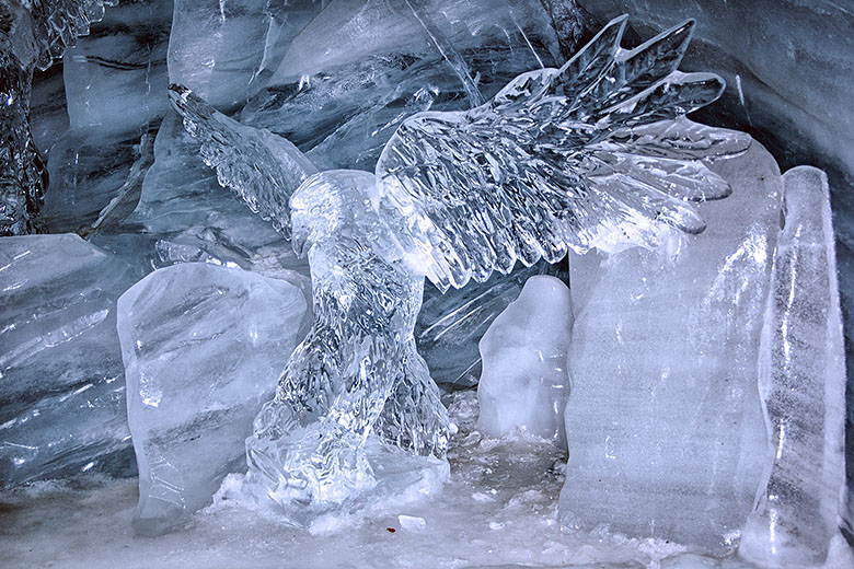
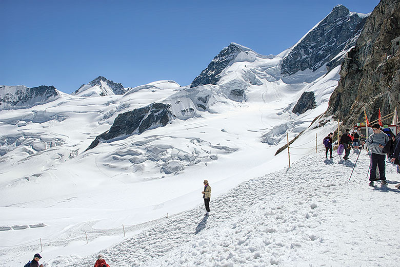
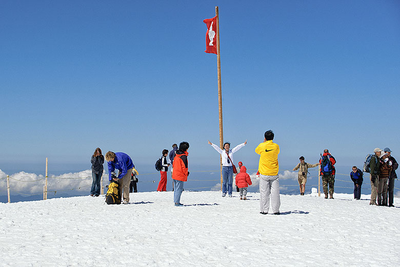
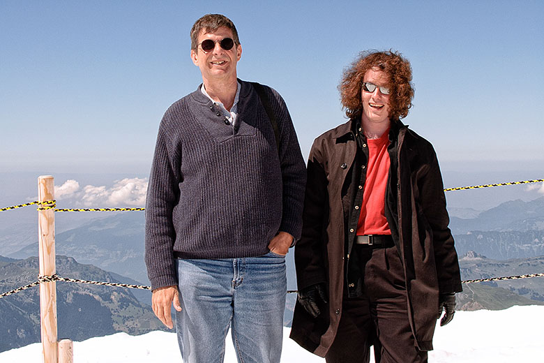
There is also an ice palace with many ice sculptures [11], and in addition to the terraces, there are at least two outdoor areas. The first of these leads to several outdoor activities (such as dog sledding, skiing, etc.) and provides the possibility of an extended walk [12]. The second accesses the Plateau [13], a smaller area that features great photo opportunities. Here, Evelyne tried my Nikon D70 [14].
|
|
In the Ice Palace |
Hiking in the July Snow |
|
|
On the Plateau |
Daniel and David |
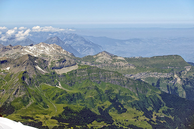
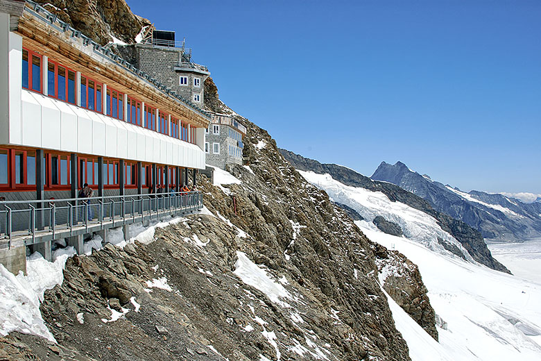
As from just about anywhere on the Jungfraujoch, the view from the Plateau is fantastic [15], [16]. As evidenced in this photo [17], the difference in altitude between the Sphinx observatory terrace and the outdoor area on the train station level is substantial: from over 100 meters above, the people look like ants! If some of the structures appear rather more recent than early 1900s [18], it is because two of the main buildings had to be totally rebuilt following a devastating fire in October of 1972.
|
|
View from the Plateau |
View from the Plateau |
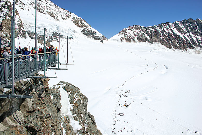
|
|
Observation terrace |
One of the newer buildings |
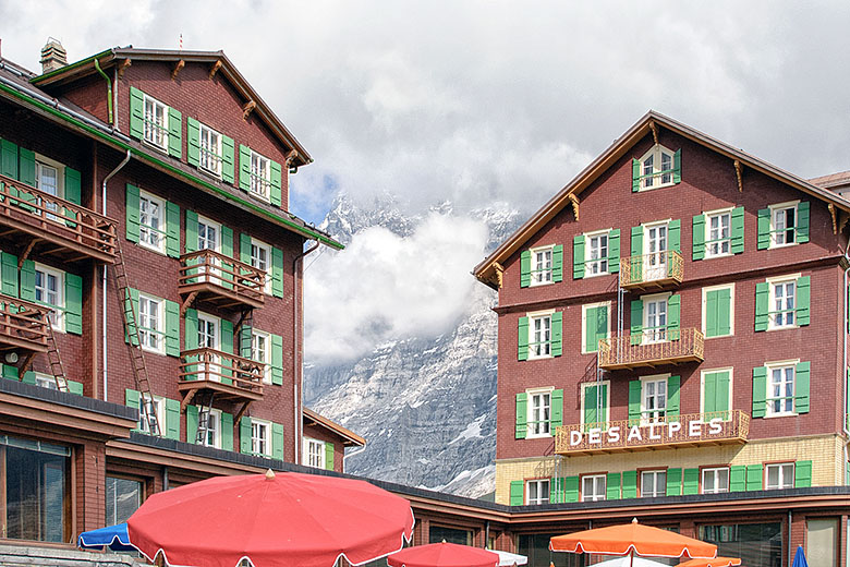
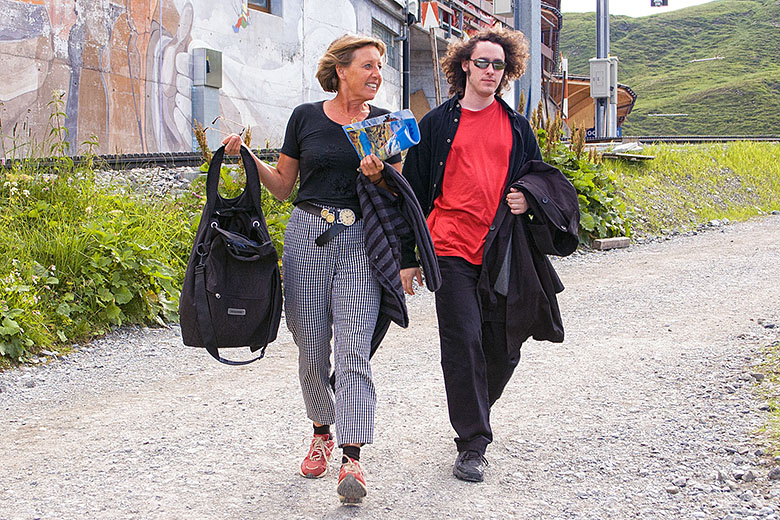
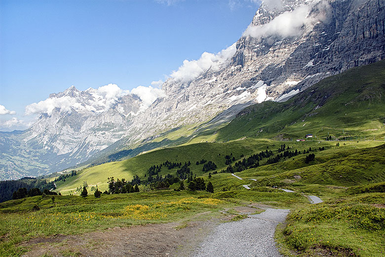
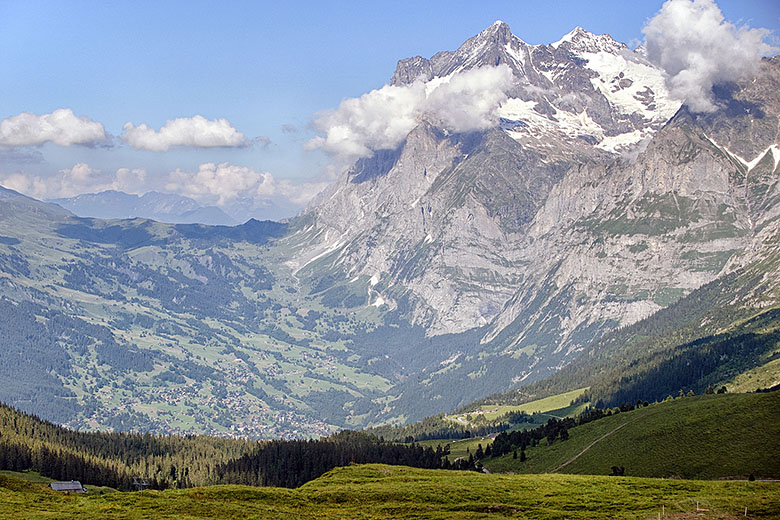
All too soon it was time to board a train to go back down to the Kleine Scheidegg [19]. From there, we had originally intended to take a train for Grindelwald and Interlaken, but luckily Evelyne found out that we could hike down at least part of the way to Alpiglen, so we got started [20]. This was a very easy hike [12] that was perfectly manageable without any kind of special equipment (I was wearing loafers). The scenery was magnificent and a few clouds that had appeared out of nowhere were painting dark spots onto the landscape [22] which only added to the beauty.
|
|
Back at the Kleine Scheidegg |
Starting the hike to Alpiglen |
|
|
An easy enough walk... |
...amid breathtaking scenery. |
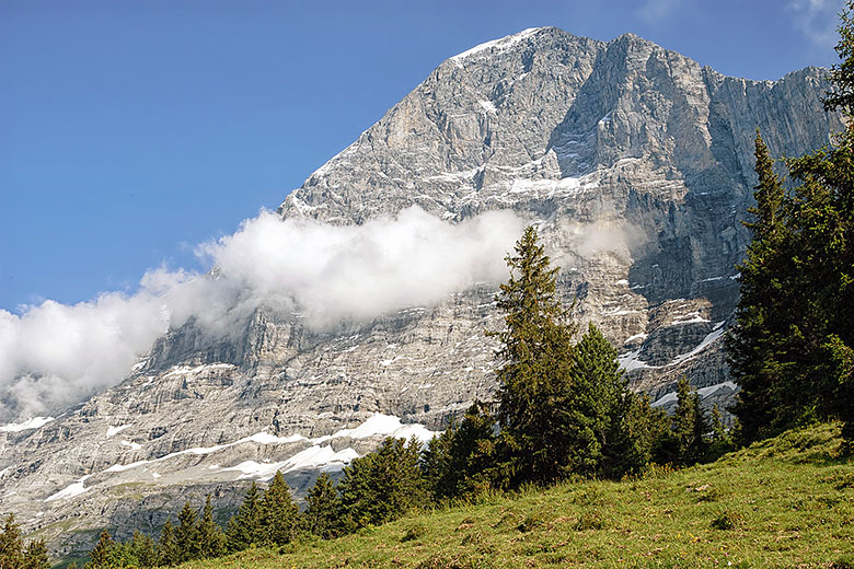
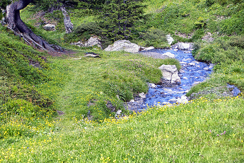
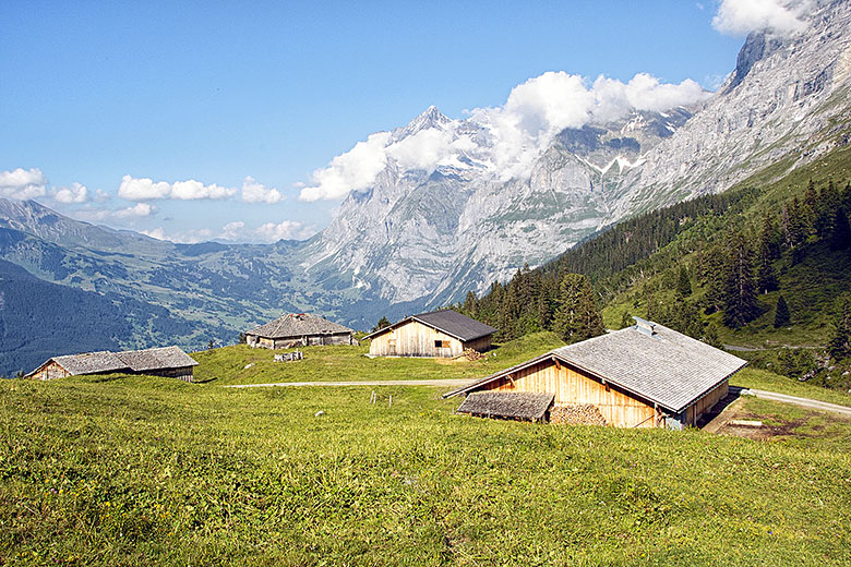
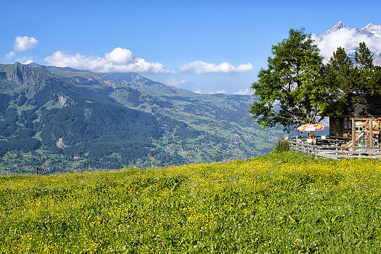
In the afternoon, it is sometimes possible to see the north face of the Eiger in the sun. It looks much less threatening that way [23]! As we made our way down the mountain, the vegetation changed somewhat, and we saw several little brooks [24]. After approximately one hour of picture postcard views [25], we arrived in Alpiglen, a place that essentially consists of a restaurant [26] and a train station. Unfortunately, the two are just far enough apart that we could not partake in what the former had to offer for fear of missing our train...
|
|
The Eiger in the sun |
Babbling brook |
|
|
Farm houses |
The Alpiglen restaurant |
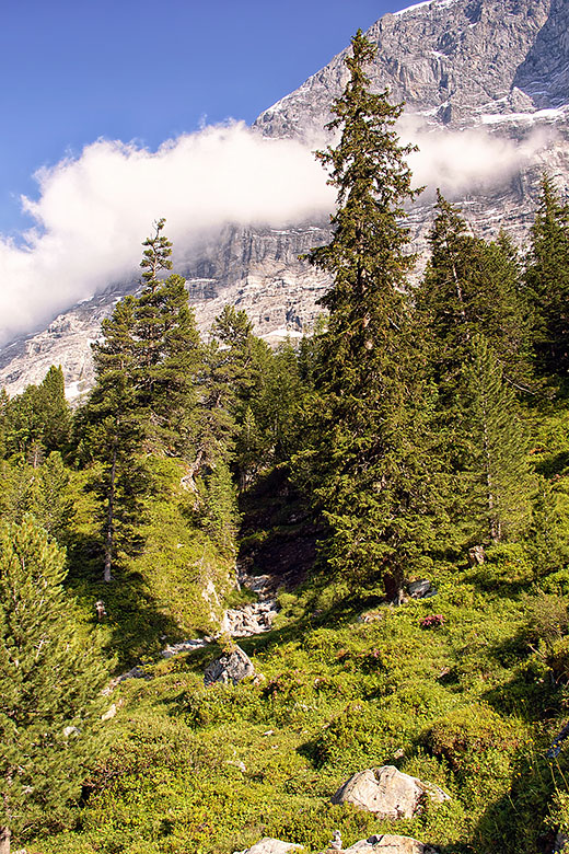
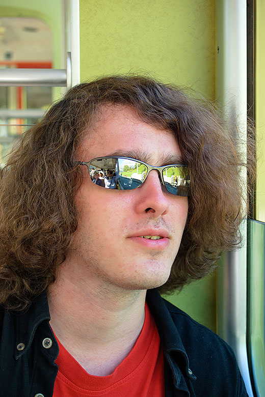
By now, we had come down far enough to be below the tree line again [27]; indeed, the train that took us down to Grindelwald (where we had to change to another train to get us back to Interlaken) drove through stretches of forest. Even though the trains were very crowded (because of the fabulous weather), we were lucky enough to get seats [28], which was just as well because with the changes in altitude (Interlaken is about 3,000 meters, or almost 10,000 feet lower than the Jungfraujoch) one gets pretty tired!
|
|
Below the tree line again |
In the train to Interlaken |
What a spectacular day in a superlative area! For anyone who visits the Bernese Oberland, the Jungfraujoch is surely a must, especially in the summer (though it is possible to go during the winter months, the terraces are always and the other outdoor areas mostly closed. I also suspect that the temperature would not be as bearable: in our case, it was about 0° C (32° F) which was OK). For more information on how to get to the Jungfraujoch, the reader is invited to consult the official web site of the Jungfraubahnen. While the price of a ticket from Interlaken to the Jungfraujoch may seem a bit on the expensive side, we believe that the value for the money is excellent, especially considering that one can easily spend all day on the mountain without running out of things to do. We recommend this destination without hesitation.
Note
This page was redone on July 28, 2012, eight years to the day following our visit to the Top of Europe. The thumbnail size has been increased, as has the size of the photo that is displayed when one clicks on one of the smaller images. Except for the addition of this note, the text has not been changed in any way. If you are interested, you can still look at the old version of the page here. Navigation has been removed from the old page; simply close the browser window or tab to return here.
Home | Site Info | Family | The Area | Trips | France | Work | Rants | Photography | Odds & Ends
This page was last modified on July 28, 2012
Send feedback about this page to feedback@kiechle.com
https://www.kiechle.com/trips/toe/toe.htm
(optimized for Retina display)
All contents © 1999-2025 The Kiechles