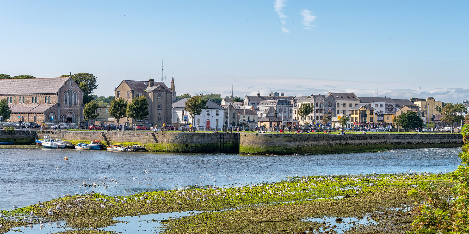
Galway and the River Corrib
On August 29, 2018, we flew from Nice to Dublin for a ten-day stay on the Emerald Isle. We first spent some time in the Dublin area, then visited Galway, Dingle, and Cashel before returning to Dublin.
This is the second of three pages documenting this trip. Also ake a look at page 1 and page 3.
Galway
On September 1, 2018, we drove from Dublin to Galway, and after having checked into our hotel, we walked the short distance into the center, began exploring the place, and listened to the many street musicians who play mostly Irish folk music. Galway is a vibrant university town with a young population, and though we had only one afternoon to roam its streets, we very much enjoyed our stay there.
Click on any image to see a larger (2100 x 1400 pixel) version!

|
Galway and the River Corrib |
|
|
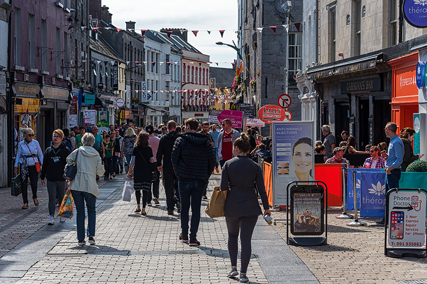
Walking down Williams Street |
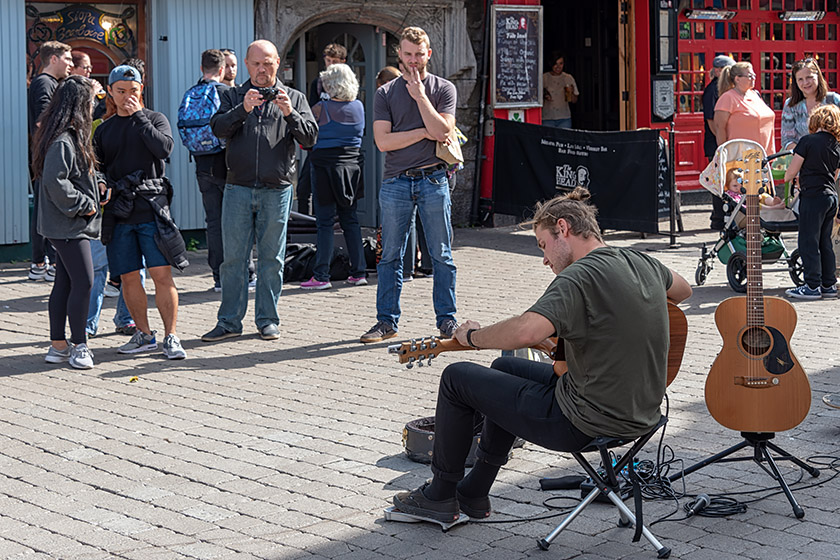
Street musician |
|
|
|
On Eglinton Street |
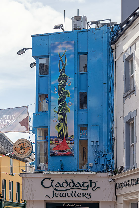
Claddagh jewelry shop on High Street |
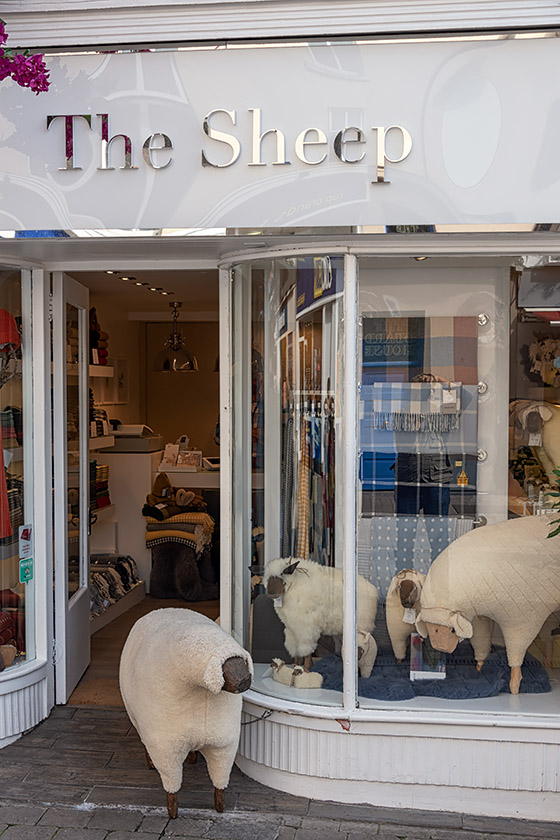
"The Sheep" on Mainguard Street |
|
|
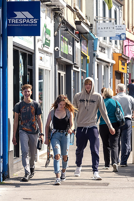
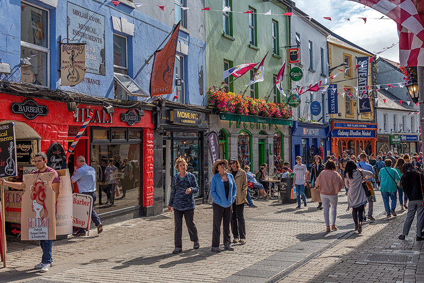
Strolling down High Street |
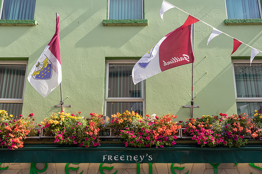
Freeney's Bar on High Street |
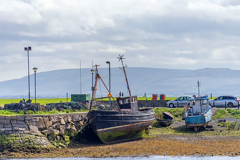
|
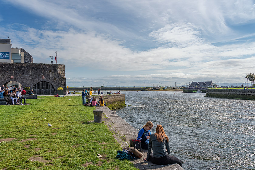
|
Looking across to Claddagh Quay: the tide is out |
On the riverfront |
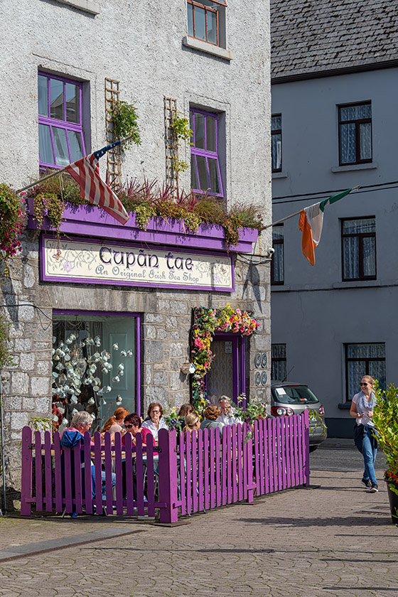
|
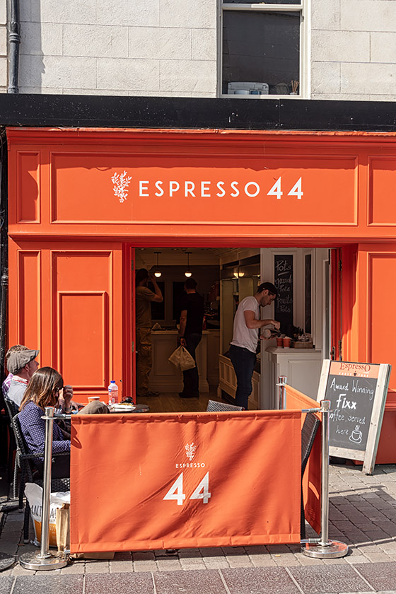
|
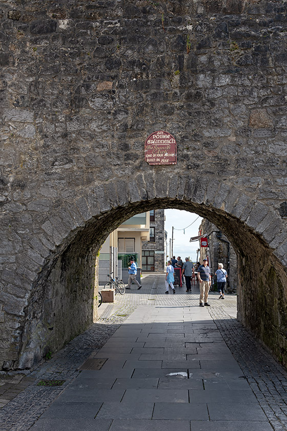
|
Capán Tae Tea House |
Espresso 44 Coffee Shop |
The Spanish Arch |
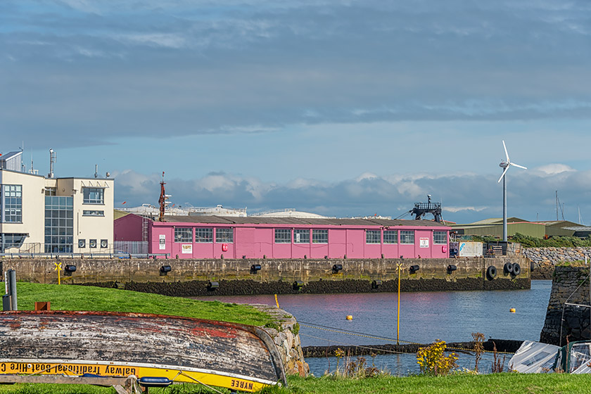
|
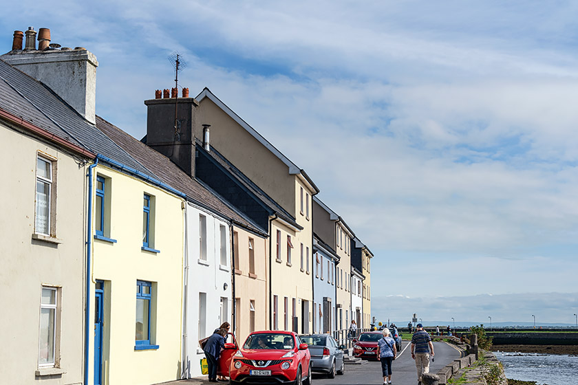
|
View from The Long Walk to Nimmo's Pier |
On The Long Walk |
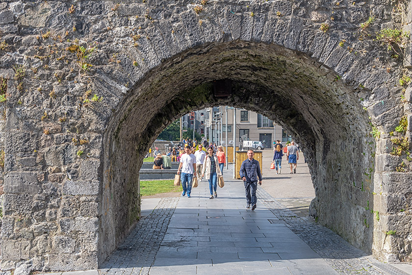
|
|
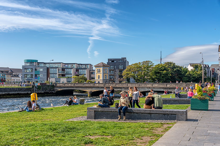
Heading back through the Spanish Arch |
The waterfront and the Wolfe Tone Bridge |
|
|
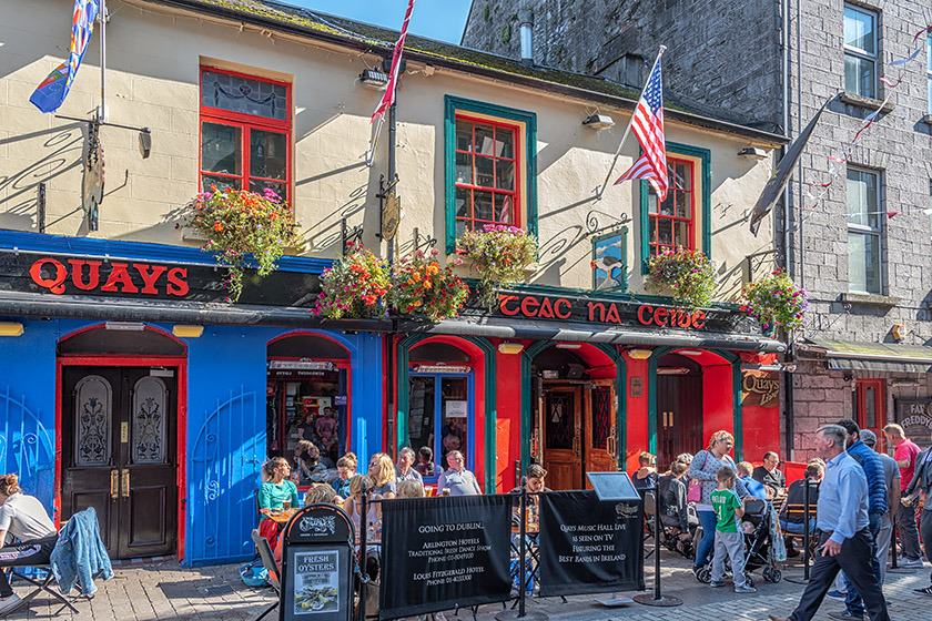
"The Quays" on Quay Street where I enjoyed my first Galway Hooker |
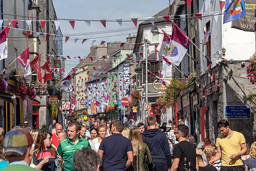
Strolling up Quay Street |
Inisheer
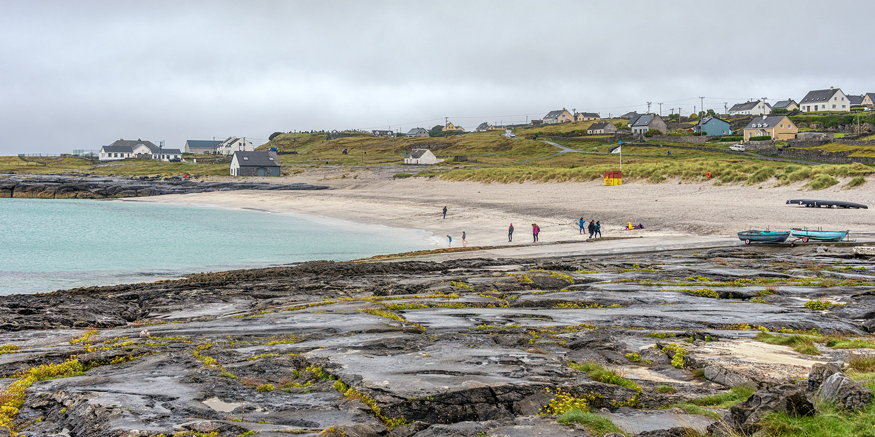
The following morning at 8:15, our tour bus picked us up at our hotel and took us along the Wild Atlantic Way to the little village of Doolin. From there, we boarded a ferry to Inisheer, the smallest of the Aran Islands.
|
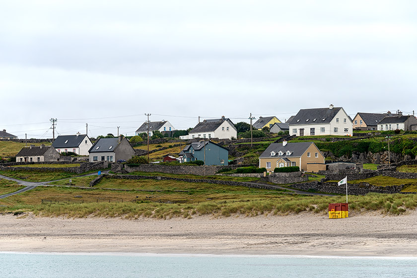
Trá Inis Oirr (Inisheer Green Coast Beach) |
|
|
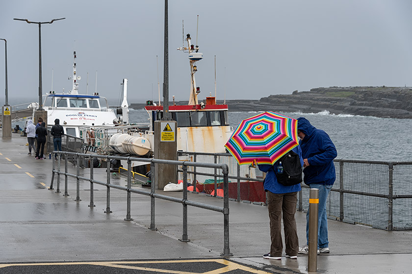
Waiting for the Doolin to Inisheer ferry |
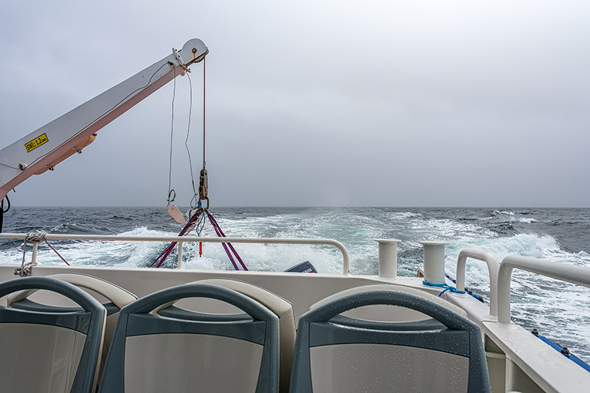
On the way to the Aran Islands |
|
|
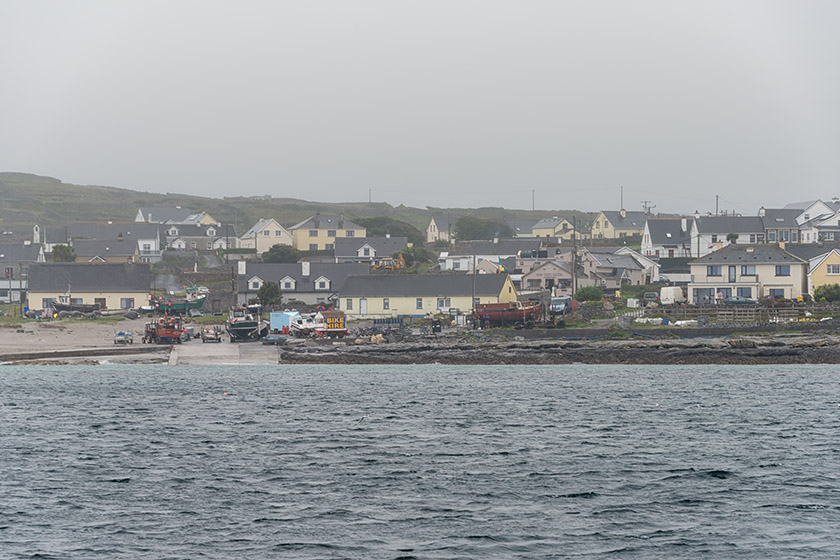
Approaching Inisheer |
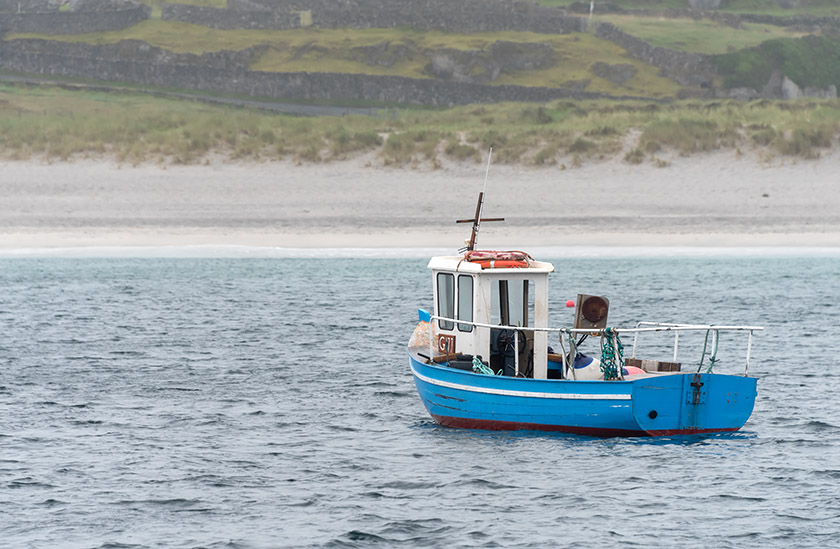
Fishing boat |
|
|
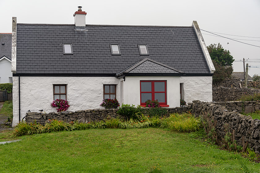
Walking along the coast |
Inisheer residence |
|
|
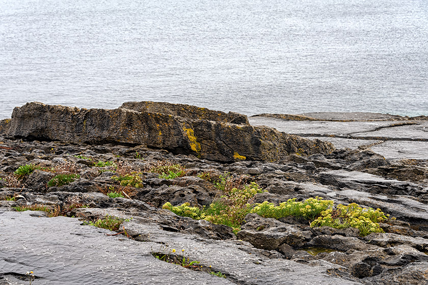
By the ocean |
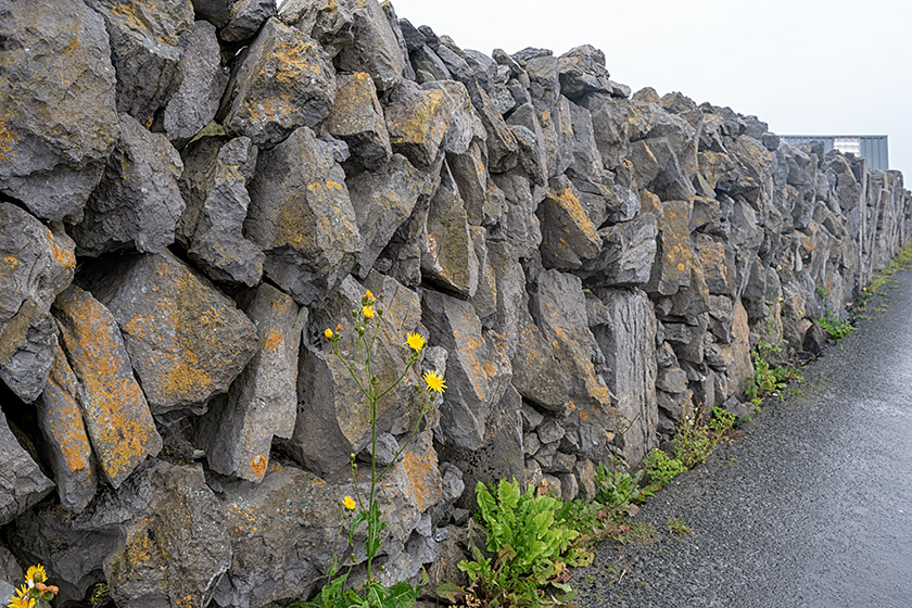
Irish limestone rock walls don't use any mortar |
|
|
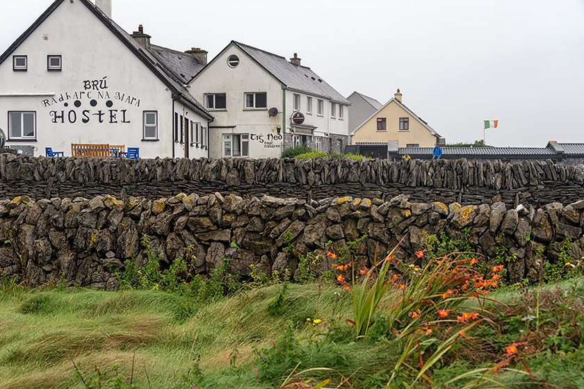
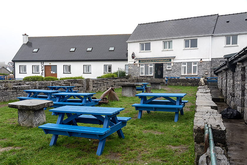
Brù Radharc na Mara Hostel |
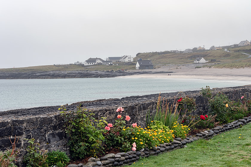
View from our coffee shop |
|
|
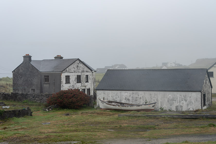
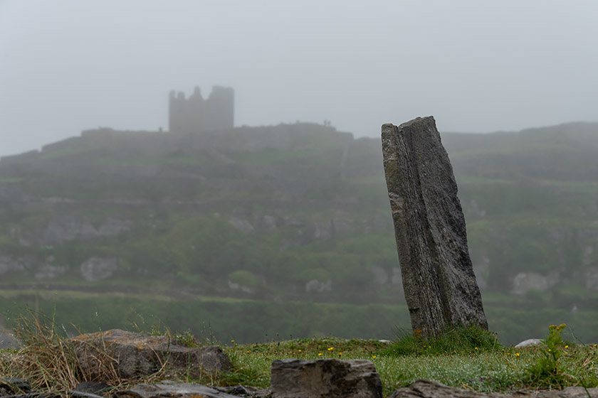
Inisheer buildings |
Cnoc Raithní |
Cnoc Raithní is a Bronze Age burial mound. It was previously covered by sand (like many things on Inisheer) but was uncovered by a major storm in 1885. While it may not be the most impressive-looking site on the Aran Islands, it is significant because it pre-dates Dún Aoghasa. The site was excavated in 1886 by D. Murphy and important artifacts were found with remains dated at 1500 BC. The site itself consists of a sandy mound 21 meters (70 feet) in diameter, revetted by a drystone wall.
|
|
|
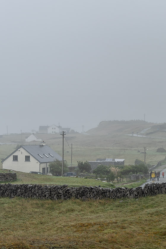
Misty landscape |
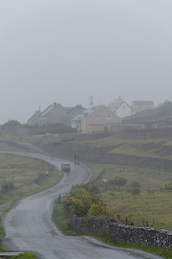
Road in the drizzle |
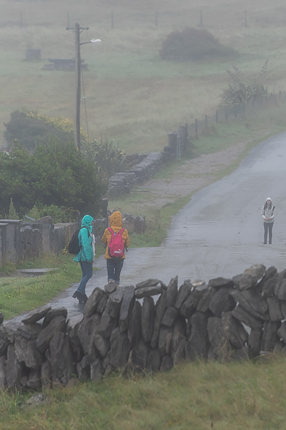
"Figures in a Landscape" |
|
|
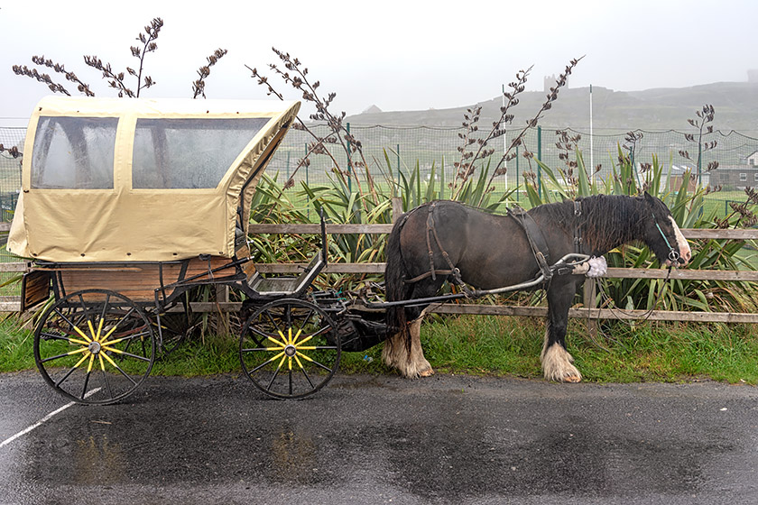
Inisheer taxi |
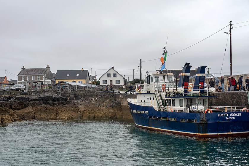
Back at the tiny harbor |
|
|
Heading out to sea |
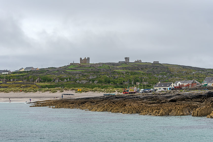
One last look at Inisheer |
Cliffs of Moher
We had two hours to explore Inisheer on our own before the ferry took us first the foot of the Cliffs of Moher and then back to Doolin. There, we boarded our tour bus again and were driven to the top of the cliffs for a very different perspective. By 7:30 in the evening, we were back at our hotel in Galway. A long but wonderful day and a fantastic excursion!
|
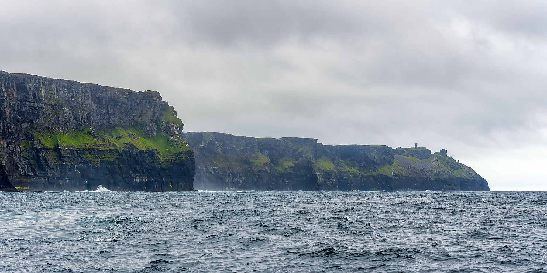
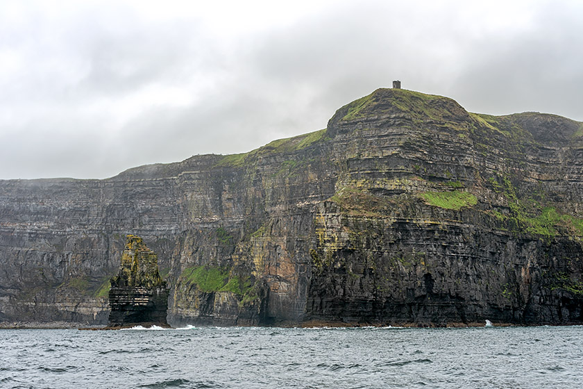
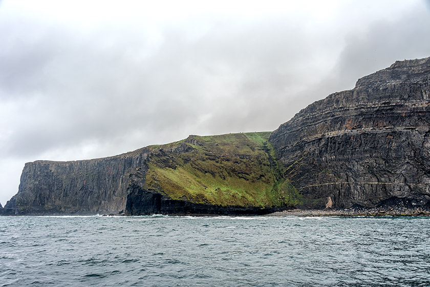
Approaching the Cliffs of Moher |
|
|
O'Brien's Tower seen from the bottom of the cliffs |
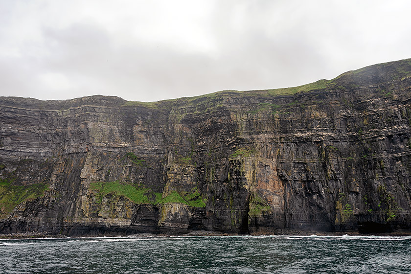
At the bottom of the cliffs |
|
|
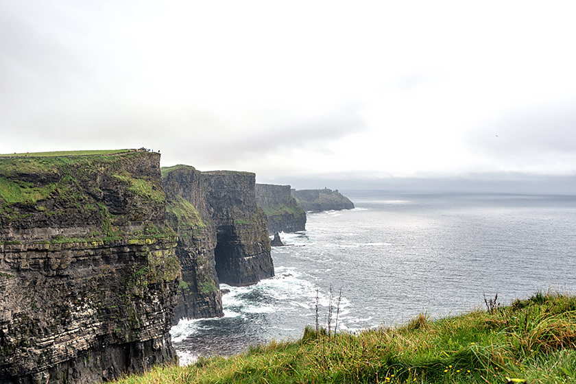
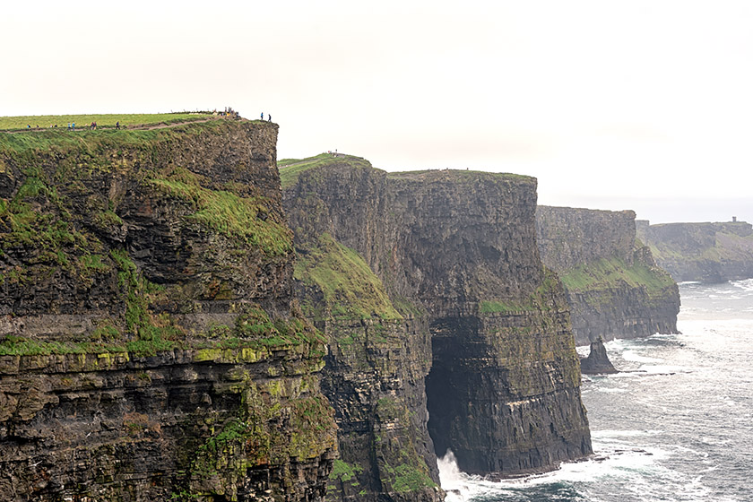
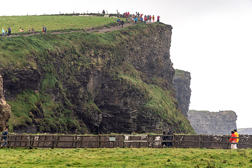
At their highest point, the cliffs rise up 214 meters (702 feet) |
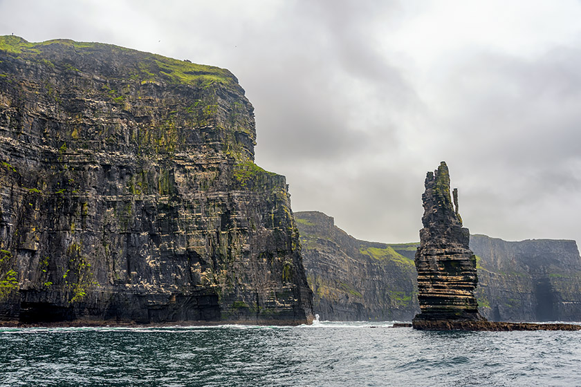
The Branaunmore Sea Stack |
|
|
The view from the top of the cliffs |
The cliffs extend over a length of 14 kilometers (8.6 miles) |
|
|
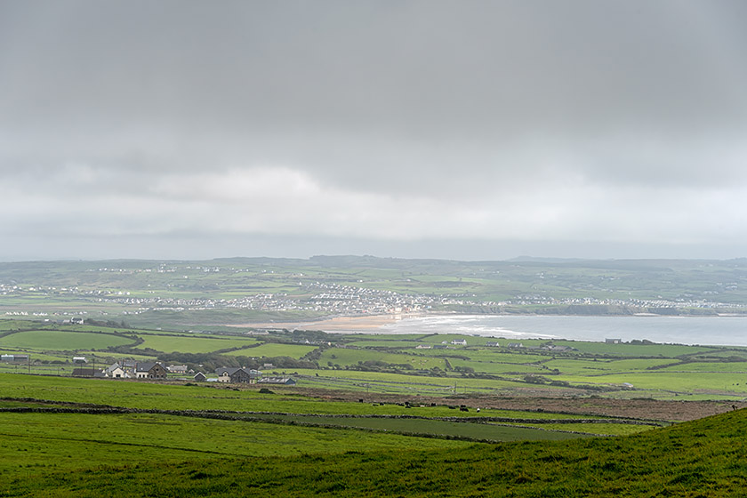
Looking in the opposite direction towards the beach of Lahinch |
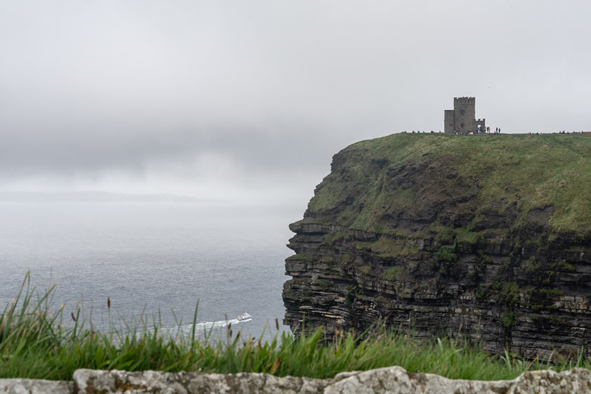
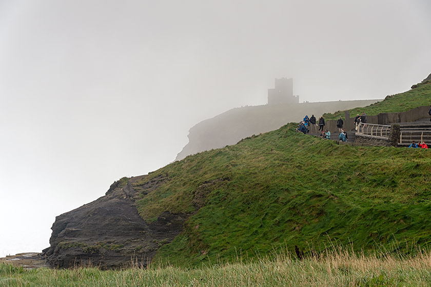
O'Brien's Tower |
|
|
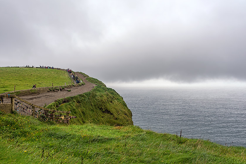
Fog can move in or out in a matter of seconds |
On the cliff walk |
|
|
On top of the cliffs |
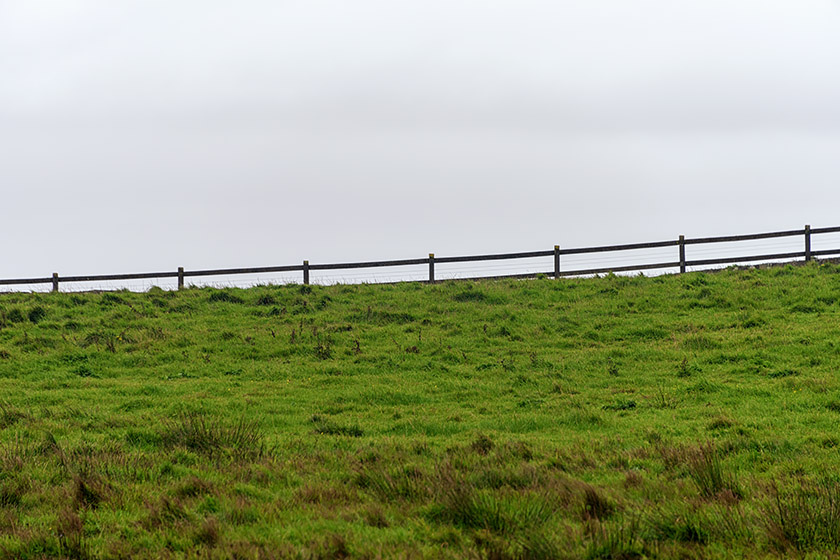
Going beyond the fence is definitely not recommended! |
The photos on this page were taken on September 1 and 2, 2018.
This is the second of three pages documenting this trip. Also take a look at page 1 and page 3.
The photos of all three Ireland pages along with many others may also be viewed in a gallery or as a
slide show. Check it out!
Home | Site Info | Family | The Area | Trips | France | Work | Rants | Photography | Odds & Ends
This page was last modified on November 1, 2018
Send feedback about this page to feedback@kiechle.com
https://www.kiechle.com/trips/ireland2/index.htm
All contents © 1999-2026 The Kiechles