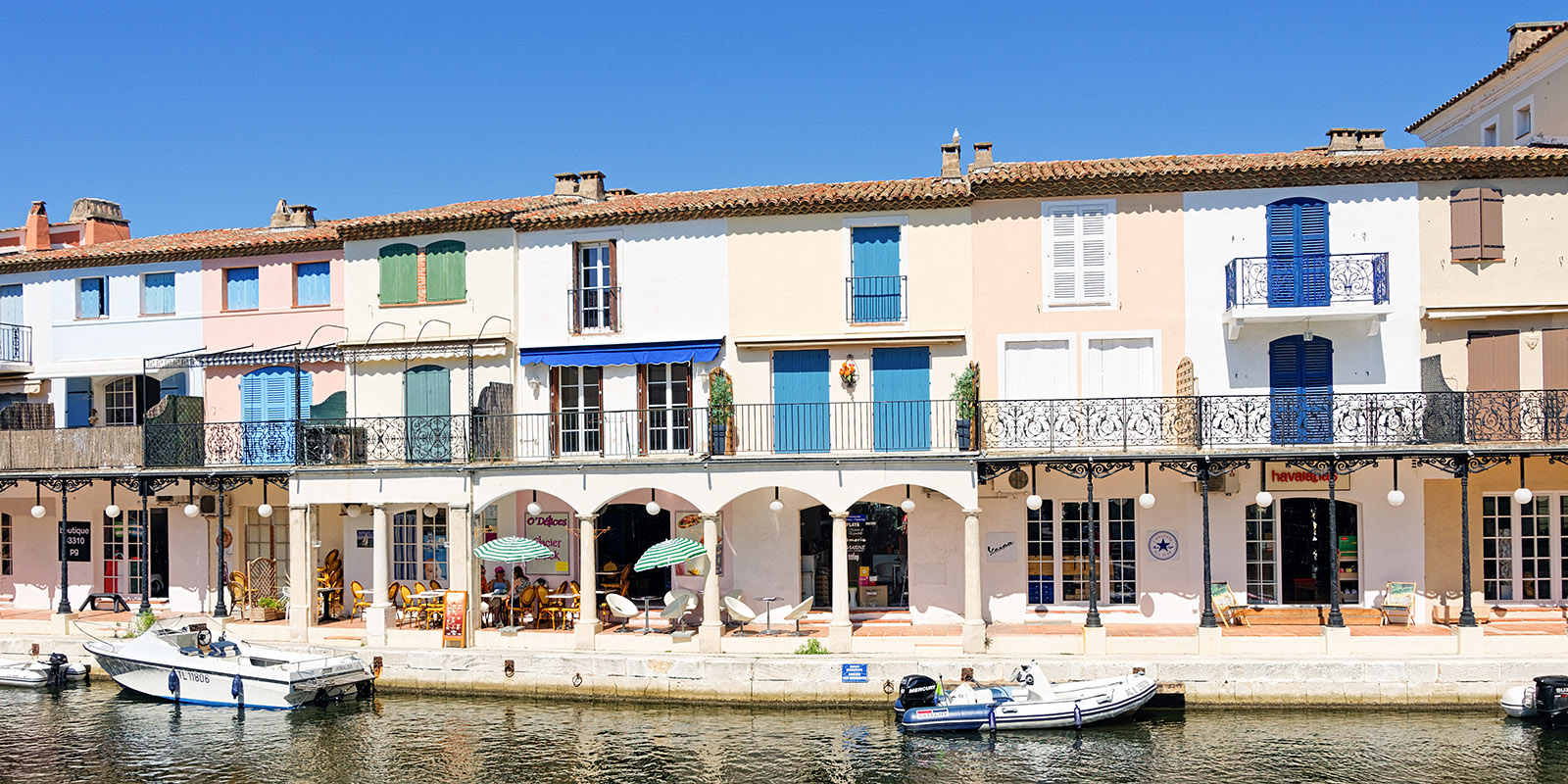
The waterfront behind the Rue des Artisans

|
The waterfront behind the Rue des Artisans |
Click on any image to see a larger (1500 x 1000 pixel) version!
In 1962, François Spoerry, an Alsatian architect from Mulhouse, bought a large plot of marshy swampland on the shores of the Gulf of Saint-Tropez and built Port Grimaud, a marina modeled after a lakeside village of pile dwellings. The initial building permits were issued in 1966, and as early as 1967, the first homes were delivered to their owners.
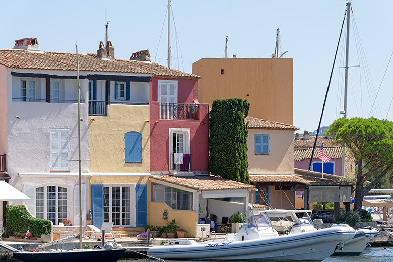
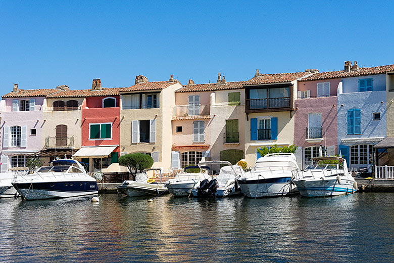
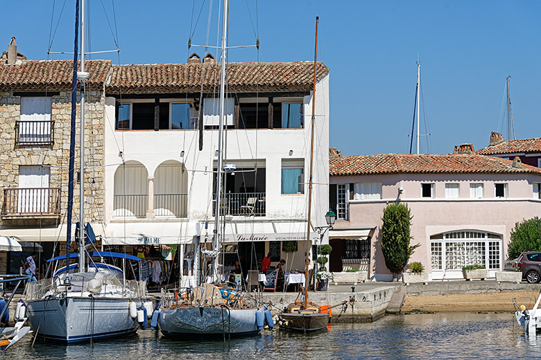
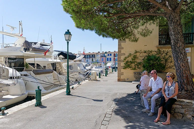
Each house is accessible from land and from a wharf where residents can dock their boats. All in all, there are 2,400 homes, and every single one is different. The dwellings vary in size, shape, and color and are built on 22 hectares (54 acres) of land, distributed over a dozen islands joined by fourteen bridges and one overpass, and lined by 14 kilometers (8.7 miles) of waterfront along which 2,000 boats can be berthed. The 7 kilometers (4.5 miles) of channels add 13 hectares (32 acres) to the size of Port Grimaud, making the total a respectable 35 hectares (86 acres). For obvious reasons, Port Grimaud is often called "The Venice of Provence".
|
|
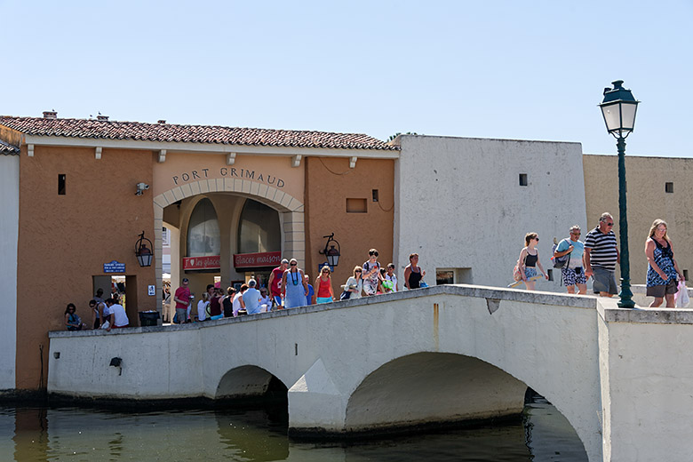
The marina entrance by the Pont de la Poterne |
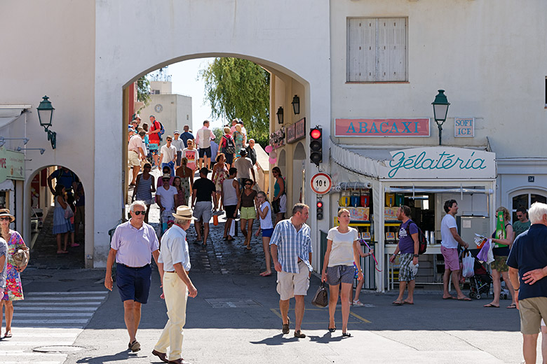
Crossing the Rue des Artisans |
|
|
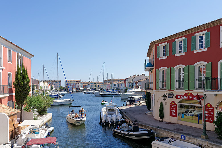
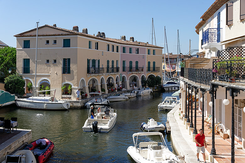
Looking down one of the many channels |
The other side of the same channel |
|
|
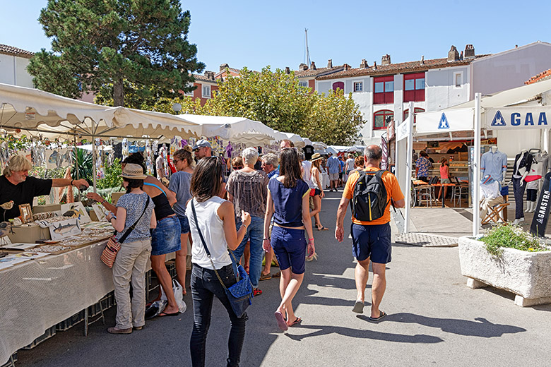
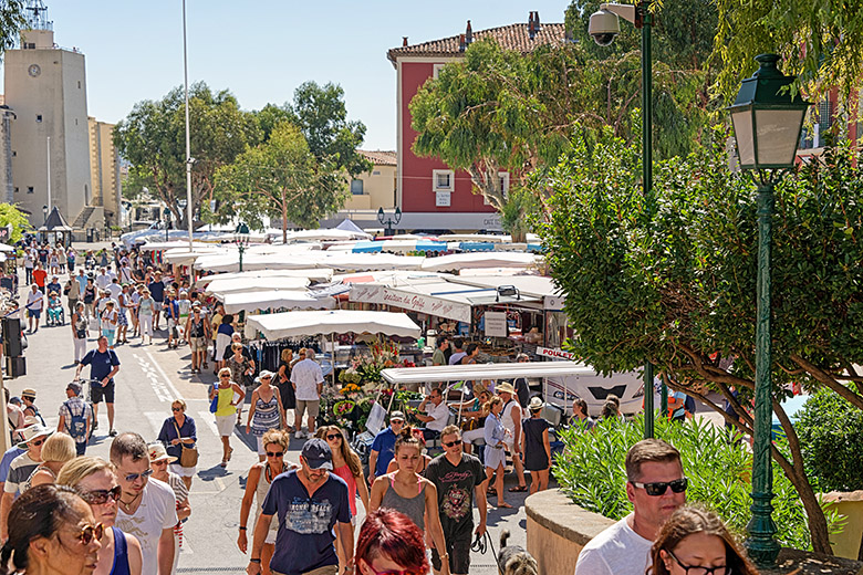
On the Place du Marché |
On the Place du Marché |
|
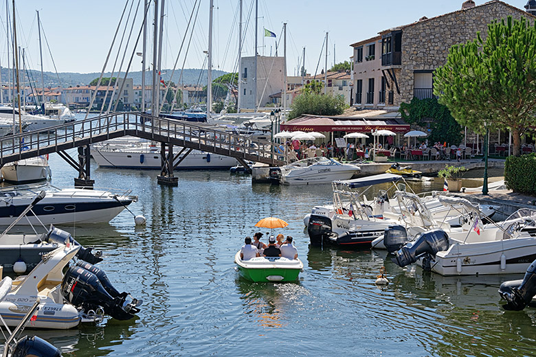
|
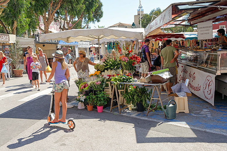
On the Place du Marché |
The only wooden overpass in Port Grimaud |
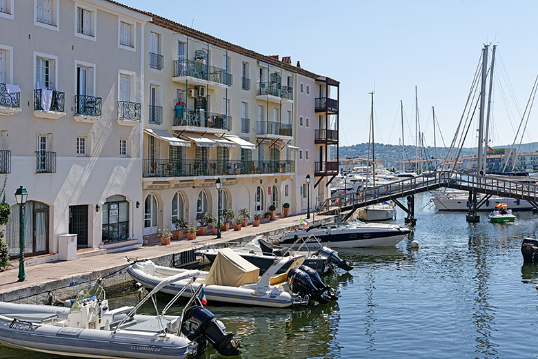
|
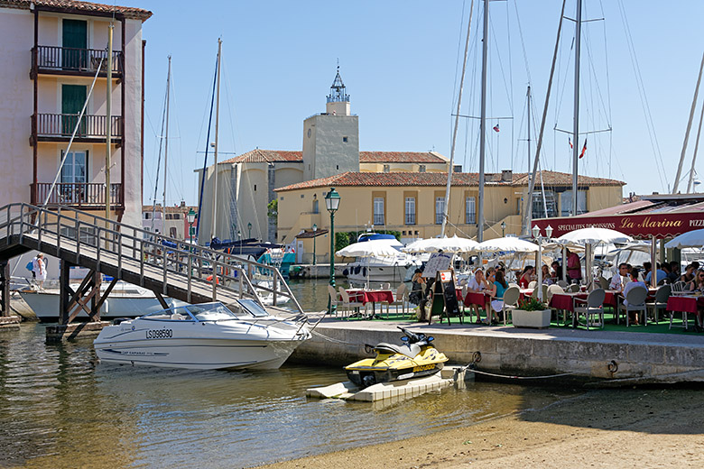
|
Apartment buildings along the water |
Looking towards the church |
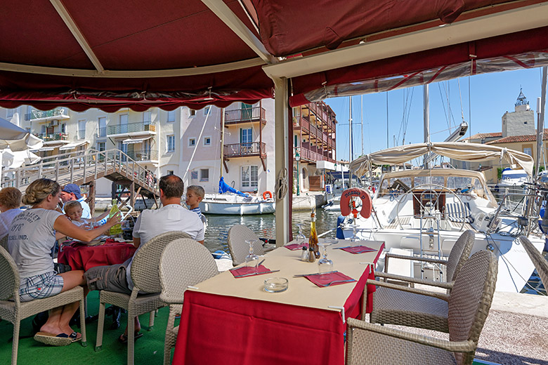
|
|
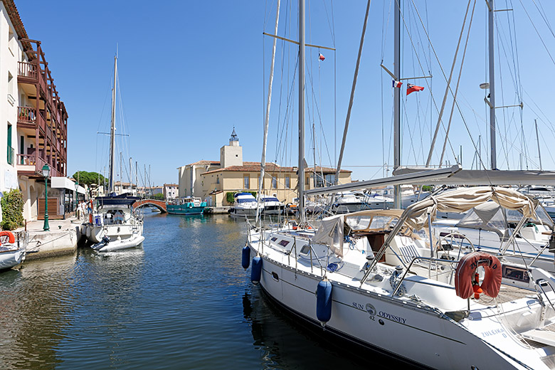
The view from our lunch table at La Marina |
Marina View |
|
|
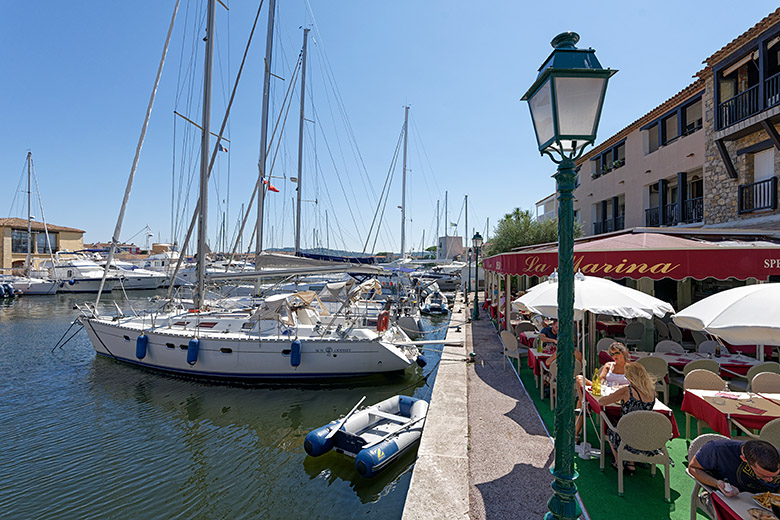
The waterfront behind the Rue de l'Île Longue |
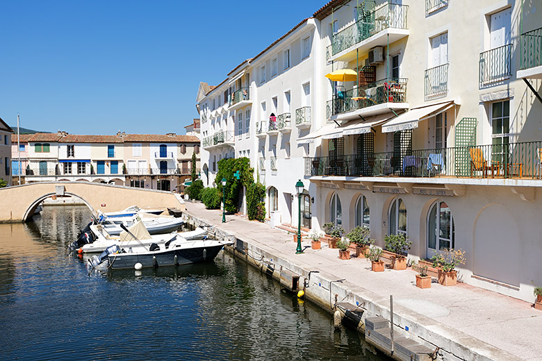
The waterfront behind the Place du Marché |
|
|
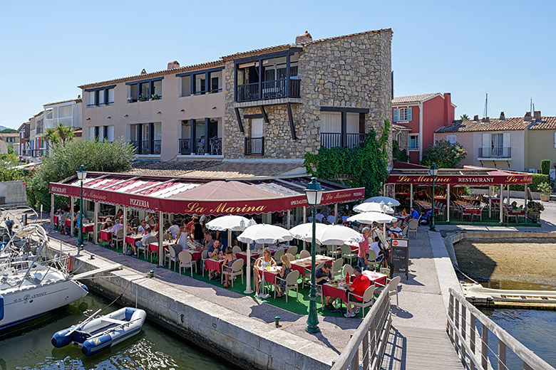
On the wooden overpass |
The colors of Port Grimaud |
|
|
Every single house is different in some way |
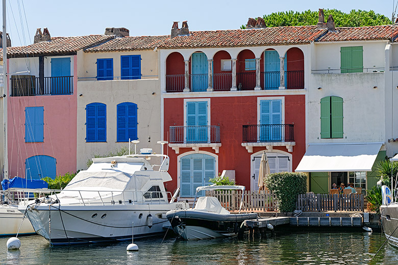
The waterfront behind the Rue de l'Octogone |
|
|
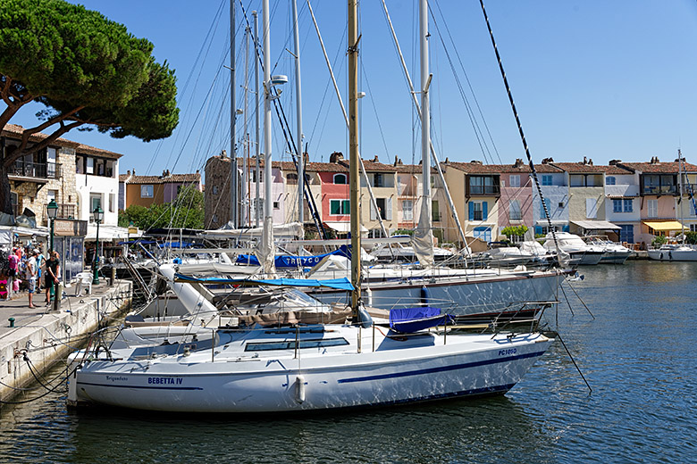
By the Port Grimaud Yacht Club |
The waterfront behind the Rue de l'Île Longue |
|
|
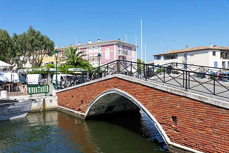
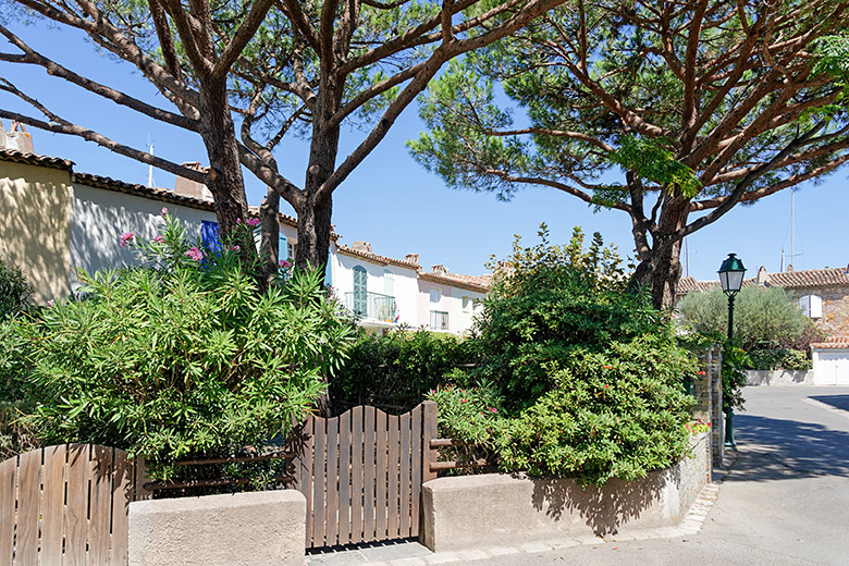
One of the fourteen bridges |
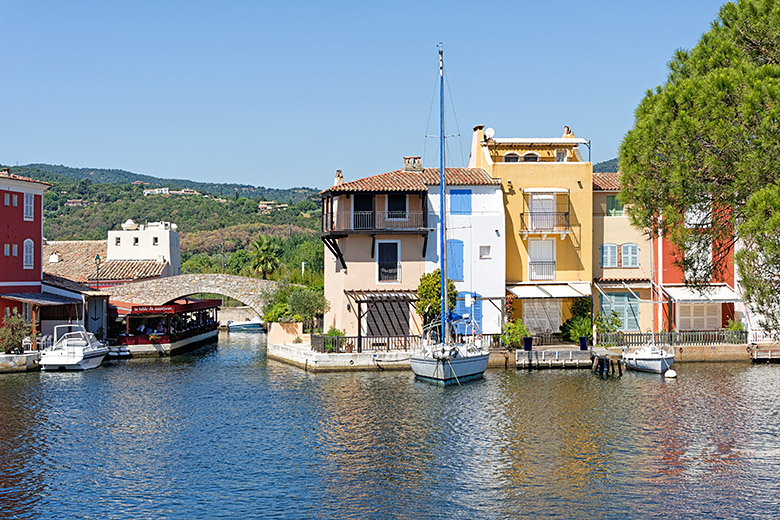
The colorful houses along the Rue de la Tour |
|
|
As varied as the buildings, no two bridges are alike |
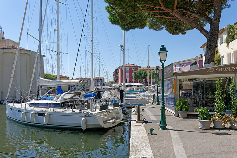
On the Rue de la Tour |
|
|
Walking along the quai behind the Rue de l'Octogone |
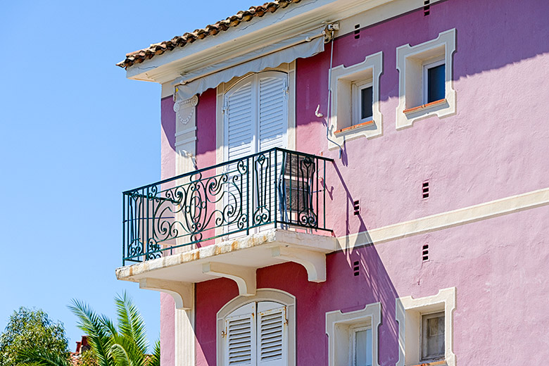
The color purple |
|
|
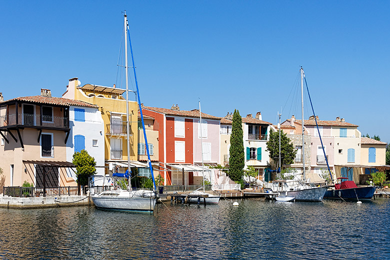
The waterfront behind the Rue du Septentrion |
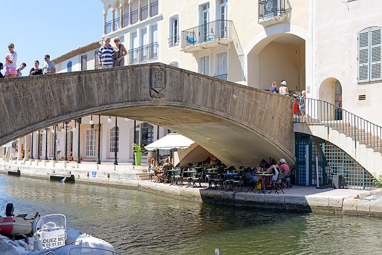
The Pont Castellane |
|
|
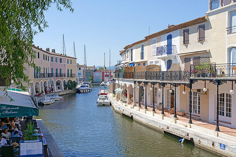
Boutiques and restaurants along the water |
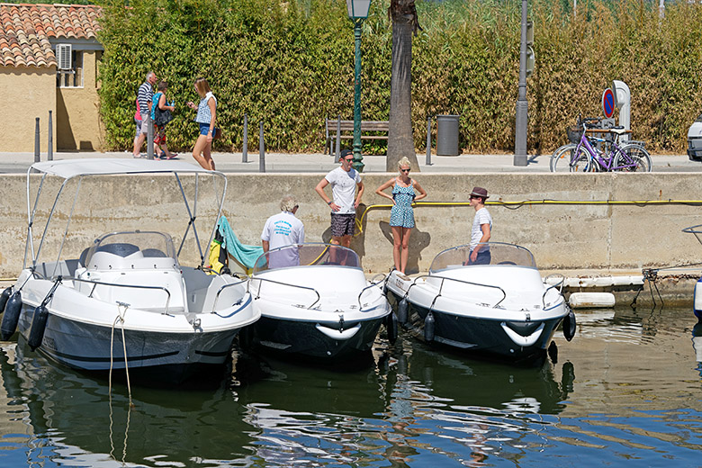
Boat rental along the Quai des Fossés |
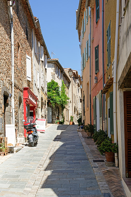
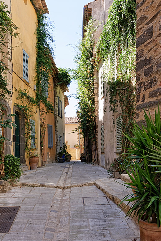
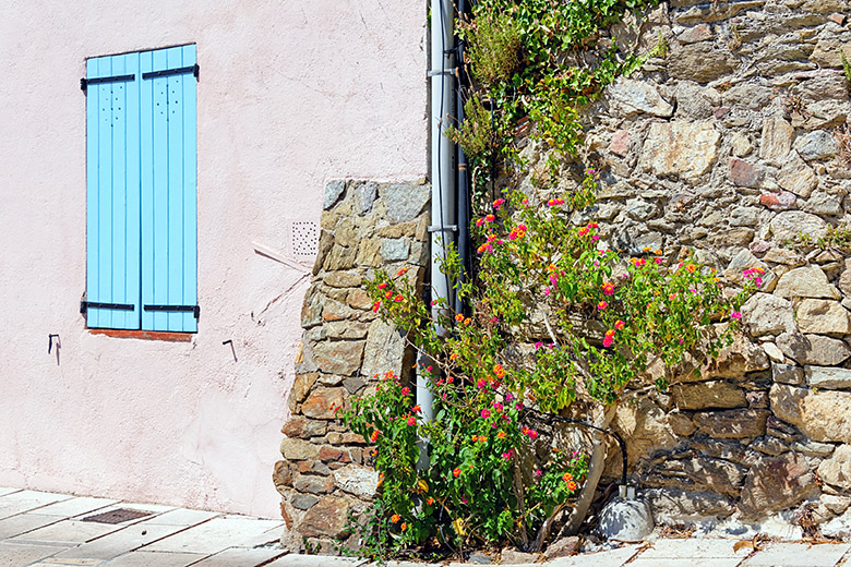
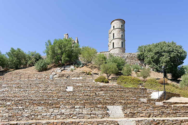
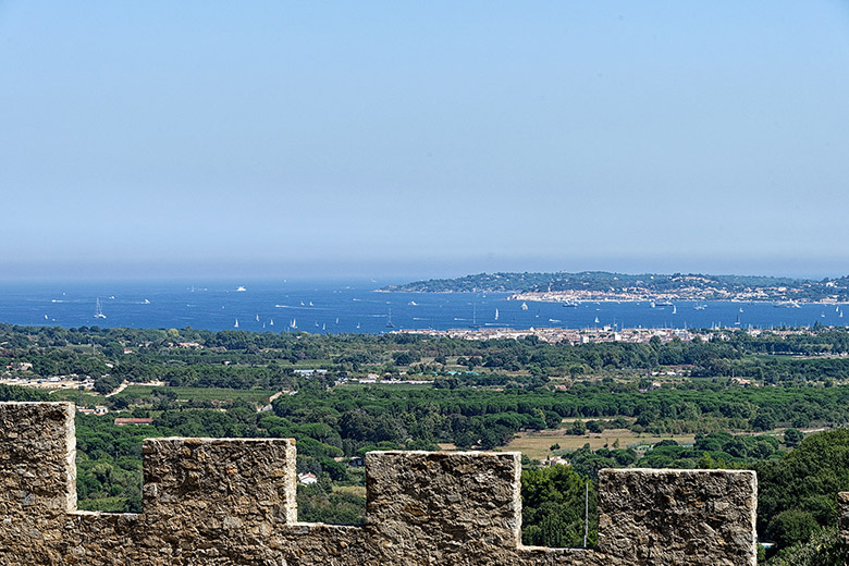
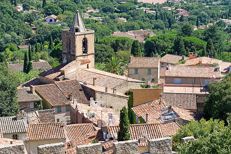
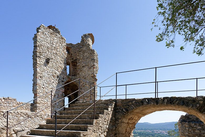
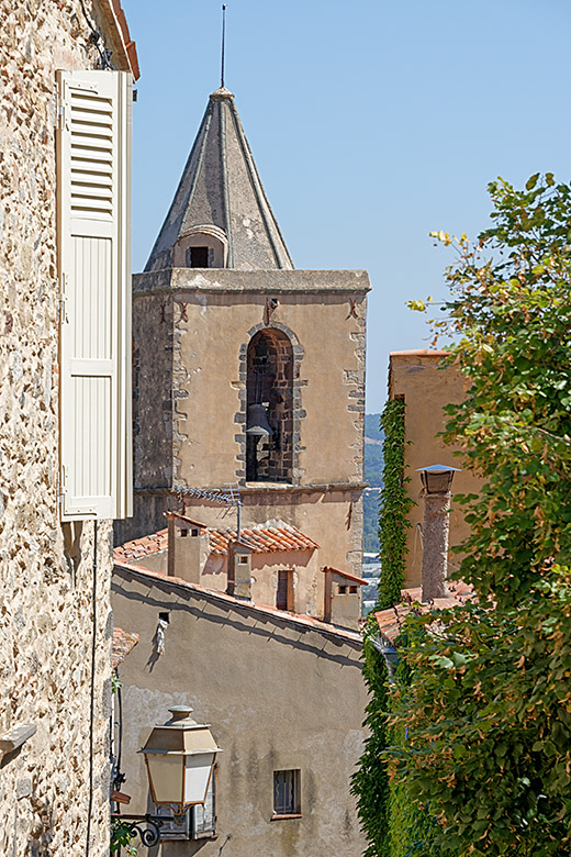
The medieval village of Grimaud is located some 5.5 kilometers (3.5 miles) west of Port Grimaud, on the Mediterranean side of the Massif des Maures, at an altitude of 100 meters (330 feet). The village features the ruins of an 11th Century castle that has been partially restored; from the castle, one can enjoy a wonderful view over the Gulf of Saint-Tropez. Many of the village houses are 500 or even 600 years old, and almost all of them have been beautifully and tastefully restored. The streets are exceptionally clean; it's a pleasure to walk through Grimaud and somewhat of a surprise that there are so few tourists. The village is also a great starting point for exploring the entire area. If you need a place to stay in Grimaud, we know of none better than the Maison Jola. Give it a try; you won't be disappointed!
|
|
|
Rue du Porche |
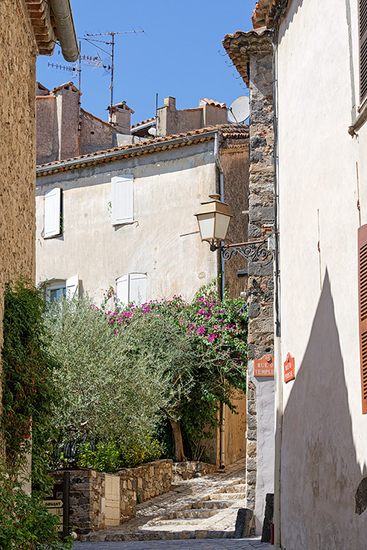
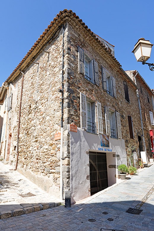
Rue des Templiers |
Rue du Baou |
|
|
On the Rue de la Treille |
Looking up to the Château de Grimaud |
|
|
The view across the Gulf of Saint-Tropez |
The village seen from the castle |
|
|
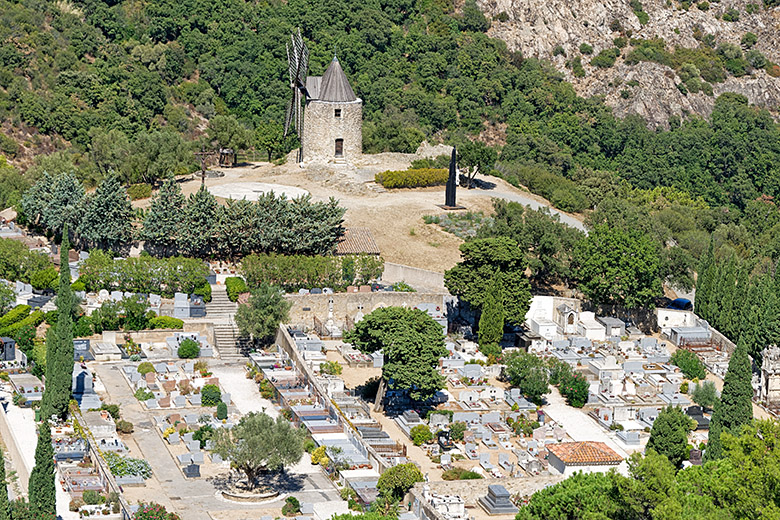
The cemetery and the Moulin de Saint Roch |
On top of castle hill |
|
|
|
On the way down |
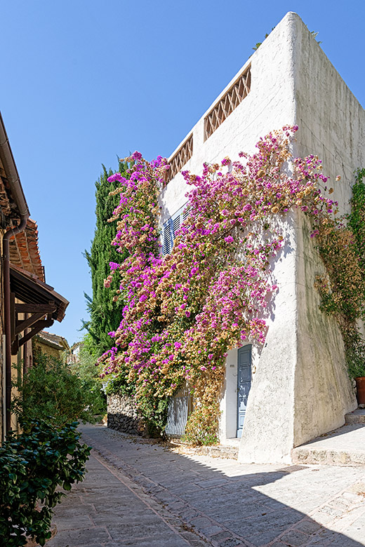
A gorgeous Bougainvillea |
The Maison Jola |
|
|
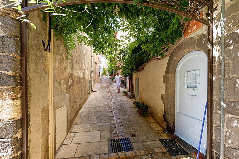
Looking up the Rue du Four |
The Place du Cros |
|
|
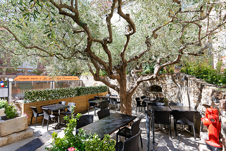
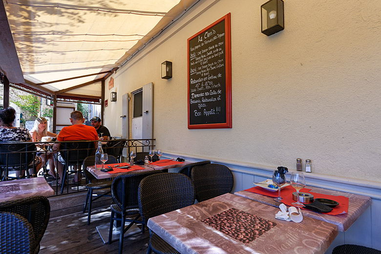
Having something to drink at Le Clem's |
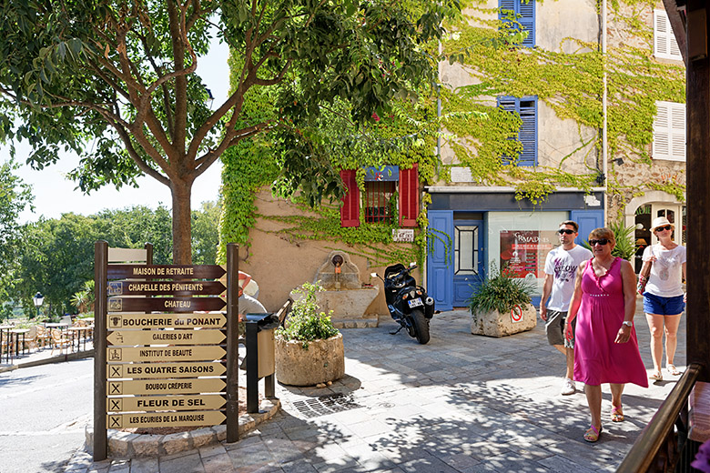
Where the Rue du Porche meets the Boulevard des Alizés |
The photos on this page were all taken on August 30, 2015.
Home | Site Info | Family | The Area | Trips | France | Work | Rants | Photography | Odds & Ends
This page was last modified on October 1, 2015
Send feedback about this page to feedback@kiechle.com
https://www.kiechle.com/area/grimaud/index.htm
(optimized for Retina display)
All contents © 1999-2026 The Kiechles